For all the maps geeks out there like me — or if you just want a peek at the navigational insanity that is the Wenger Patagonian Expedition Race — I offer these two big, beautiful satellite map samples. The first file below is an overview map from last year’s race. The second map is a close-up view. This is what Team Gear Junkie will be staring at throughout the depths of it this February. Gorgeous stuff!
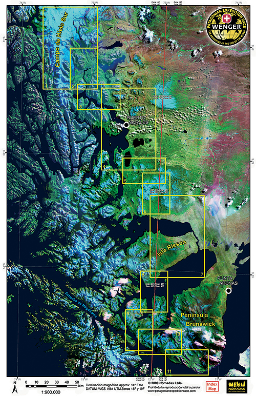
Wenger Patagonian Expedition Race 2009, overview course map
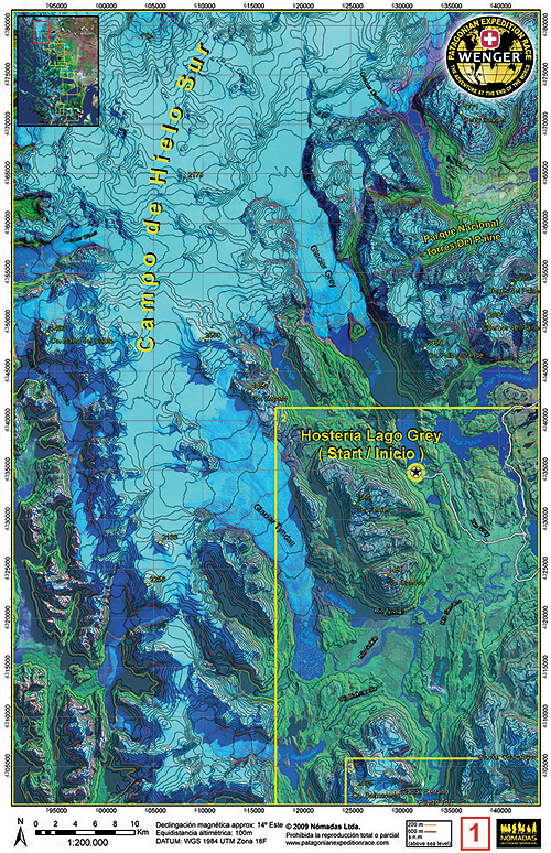
Close-up map from the Wenger Patagonian Expedition Race 2009