By Jeff Kish
Sometimes the adventure you end up with is not the one that you planned. British adventurer Alastair Humphreys — honored as National Geographic’s Adventurer of the Year in 2012 for his “microadventure” project encouraging people to find adventure by seeking experiences close to home — said that adventure is only a state of mind.
Yvon Chouinard has said that the word adventure is overused, and that it isn’t until everything else goes wrong that adventure begins.
In the spirit of Humphreys’ project, I set out on a micro-adventure to explore Deadhorse Cave, located somewhere in the forest just one county away from the city streets that I usually call home.
I think my recent trip fit both Humphreys’ and Chouinard’s definitions.
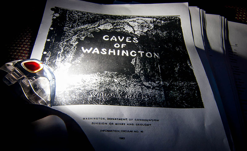
Deadhorse Cave’s existence is well documented, being the longest known lava tube in the contiguous United States, but all written accounts are vague concerning its whereabouts, and often include lines like “I do not give out maps or directions to caves, so don’t ask!” It turns out the internet is full of secretive speleologists and stonewalling spelunkers who are close-mouthed concerning cave coordinates.
Even a talk with my buddy who’s a cartographer for the U.S. Forest Service was fruitless — he searched multiple USGS mapsets and the GNIS database and came up with no records. So I had to spend a few evenings piecing together clues from the internet before I could steer the van north across the Columbia River and into Washington State.
While I intend to follow the example of those before me in keeping the cave’s exact location protected, I don’t mind sharing that there’s a tiny town called Trout Lake just a few miles from where I would begin my hunt under the imposing silhouette of Mount Adams.
I knew Trout Lake from my thru-hike of the Pacific Crest Trail, which runs nearby, as well as a summer of shuttling other hikers through the area. So I was in familiar territory the morning when I pulled into the only place in town to eat — a diner/gas station combo on the corner where I was the only patron.
I could have just made something to eat in the van, but I wanted to ply a local with questions about the cave. It was too early to order the elk burger, and I wasn’t in the mood for huckleberries, so I settled for something that wasn’t advertised on the hand-painted signs across the windows outside. The cook had a vague recollection of “maybe hearing about something like that from her roommate once,” but offered no better leads than the one I already had. I finished up and headed into the woods, full, but otherwise no better prepared for my search.
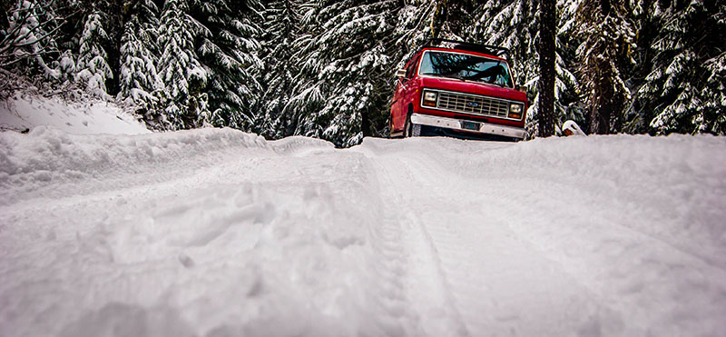
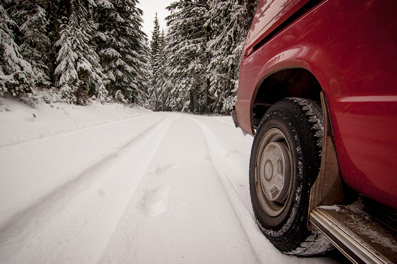
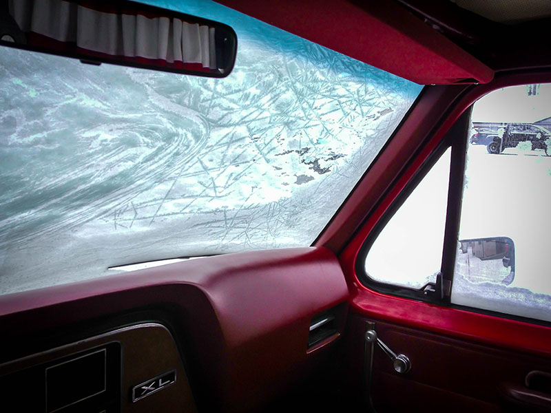
Just a few miles out from the clear pavement of Trout Lake, I began to encounter a rising blanket of fresh powder. It wasn’t long before I began to question if my van could make it to where I was headed, and it wasn’t until I got there that I considered how difficult it would be to find a tiny hole in the ground under all that snow. I suited up, hopped out, and began my hunt, but soon realized I was searching for a needle in a haystack and knew it was time for a change in plans.
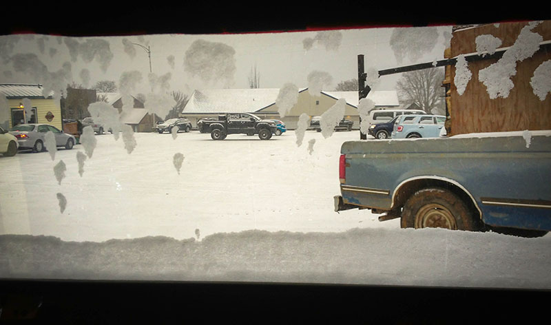
Though the afternoon sky was clear, snow was in the forecast for that night. Concerned about ending up snowbound in such a remote locale, I turned the van around and retreated 3,000’ in elevation to the bare streets of White Salmon, thinking of the last thing my editor said to me before I left: “Take lots of pictures!” Having not found the caves I intended to feature, I had not.
In town, I combed through my stack of notes to prepare for a trip to another cave system the following day. I could get my shots then. I slipped into my napsack and under my 0° quilt and slept well despite a low of only 3° F that night.
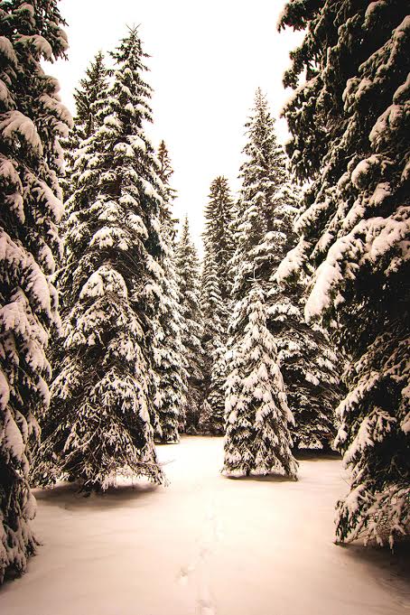
I woke to the soft white diffused light of snow-covered windows and a transformed landscape outside. Two days into this micro-adventure and two plans foiled — the roads back up to the second caves would be impassable in these conditions. It was time for another exercise in resilience.
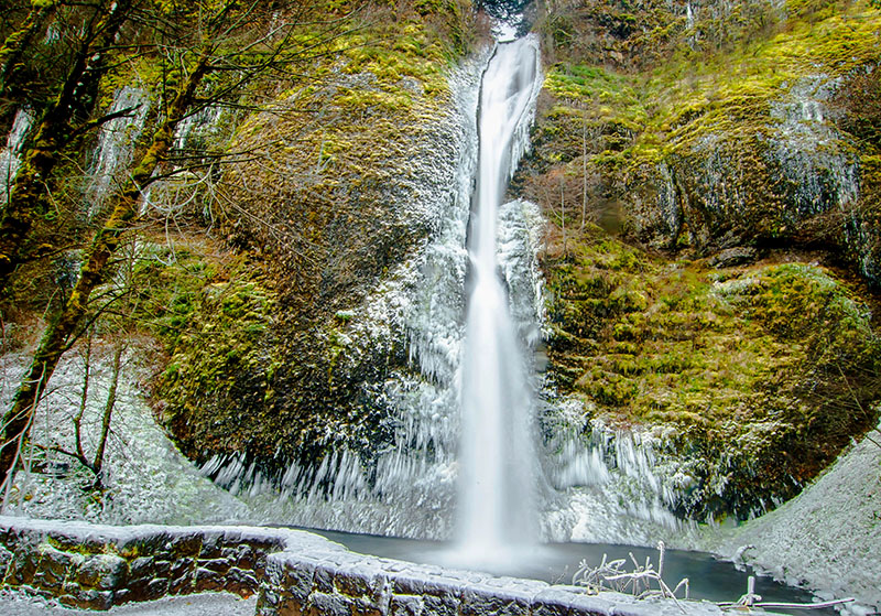
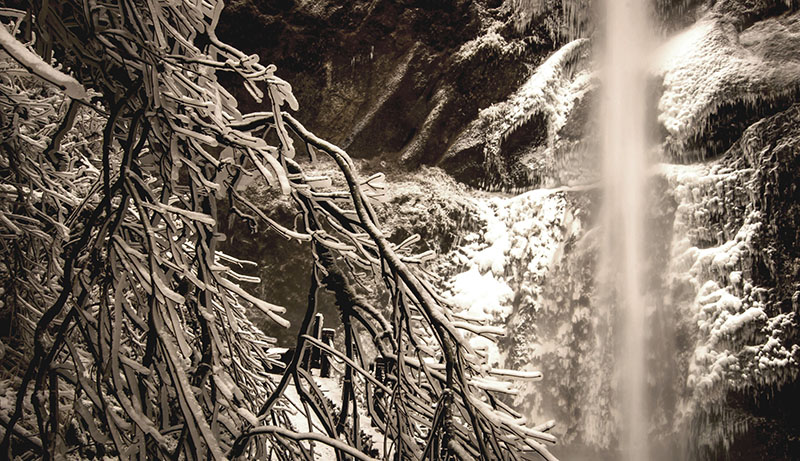
I crossed the Hood River bridge and hoped that when it came to my efforts to make something of this excursion, the third time would be the charm. I had to stop seeing what I could do despite the weather and embrace the opportunities I was being presented with because of it. It’s not often that the waterfalls of the Columbia River Gorge freeze up, and this cold snap created a buzz about a rare opportunity to see them clad in ice.
I wove my way down an unusually desolate section of Interstate 84, turned off onto the Historic Columbia River Highway, and made the first tracks in virgin snow. I hadn’t considered exploring this area when I set out, but quickly I realized this would be the highlight of the trip. I’d been down this road many times before but had never seen it like this.
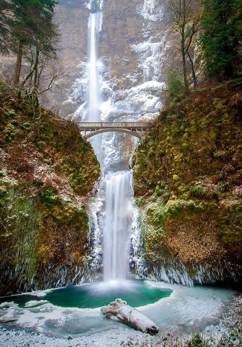
The typically seeping hillside cliffs were streaked with still hanging white flows. The ice, of course, was the highlight of the experience, but it was equally unusual to have Oregon’s tallest waterfall and most visited attraction all to myself. Aside from a few worker vehicles, the parking area under Multnomah Falls was all mine.
Though the air was a swirl of fine wind driven snow, I finally managed to get my week’s shots just before my camera batteries froze, and then I returned to the city, satisfied that in a roundabout way I had achieved what I had ultimately set out to do and experienced something new in my own backyard.
—Jeff Kish writes a weekly column on a laptop aboard the customized Ford Econoline in which he lives. You can catch up on Kish’s past stories: The Rubber Tramp Diary, Entry One, and his back story about shuttling through-hikers on the PCT.
