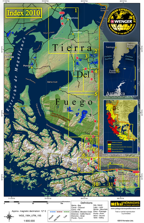
In adventure racing, GPS is not allowed. A map and a compass are your sole guides through wilderness deep and untracked. The cartographical extravaganza that was the 2010 Wenger Patagonian Expedition Race included a dozen detailed topographical maps, checkpoints, mandatory mountain passes, a “recommended” route (see the traced line on the maps below), kayak, trekking, and biking legs, and a finish line somewhere far south in Chile’s Magallanes and Antártica Chilena Region of Patagonia. For your cartographical pleasure, here is a multipage layout of all the maps Team GearJunkie.com and all the teams used in the 2010 Wenger Patagonian event — scale, contours, key, elevation, and declination all included in the spread. —Stephen Regenold
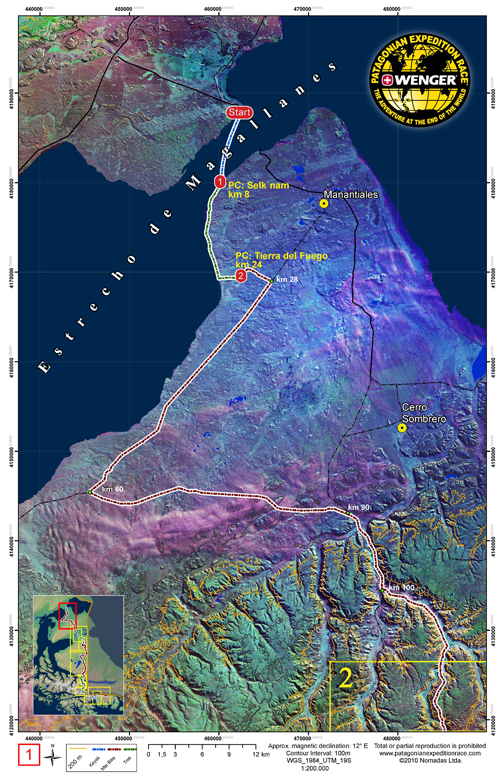
maps continued on next page. . .