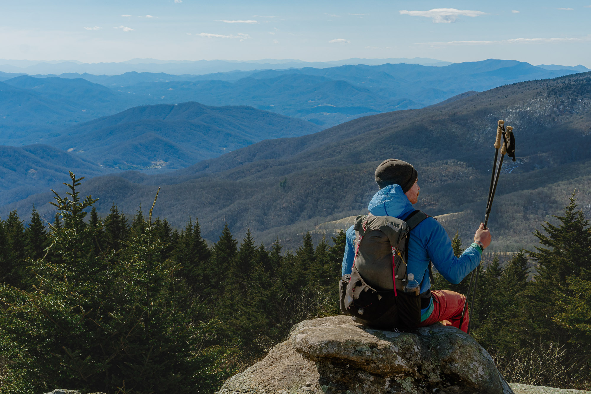
Eleven miles into the run, our feet teeter at the canyon’s rim. Our eyes tumble down the fall line, sliding through sun-gilded grassy slopes that plunge between chiseled rock walls. Far below, a delicate white line is the Snake River and its class V whitewater.
“Hat Point lookout… our turn-around,” declares Mike, my partner on this trip through North America’s deepest canyon. Plunging 8,000 feet in just 10 miles, Hells Canyon is narrower, steeper and deeper than even the Grand Canyon.
Despite its prominence, there is little information published about Hells, and the rim-to-rim-to-rim challenge we wanted to pursue was a ripe plum line waiting to be picked.
It took 36 hours for Mike and I to make it. After a true adventure we climbed back out of Hells happy but not unscathed. Here are the details of our trip.

Water: Purify or Carry
Season: July — September
Elevation: 18,000 feet of climbing
Mileage: 42 miles
Difficulty: Hells Canyon Rim-to-rim-to-rim is a committing goal, requiring high fitness and competent route finding skills. Boat travel was grandfathered into the Snake River corridor wilderness agreement. If you get into trouble, drop down to the river and thumb a ride out.


The Route: While the West Rim (Oregon) sits at 5,632’, the East Rim (Idaho) sits a few thousand feet higher at 8,043’, spanning a straight distance of 10 miles. But the edge of the rim proper sits inside the Hells Canyon Wilderness, roadless and off limits to vehicles. The R-3 proper requires trail time on both state lines, where route finding is anything but straight.
The Idaho side (recommended start) begins at Windy Saddle trailhead (#124, 7,600’) and wraps counter-clockwise under the Seven Devils before it traverses out across Dry Diggins Ridge (#140). It’s here where it takes the plunge to the Snake along abandoned trails (#58) and overgrown slopes. The fall line is obvious and mistakes are forgiving. Regain the trail on the right side, above Bernard Creek, which follows to the confluence with the Snake.
What the Oregon side lacks in elevation, it makes up for in obscurity. Two trails can bring you up to Smooth Hollow, but neither are desirable. Hat Creek trail (South, #1752) appears to be less traveled and steeper. Waterspout Creek trail (North, #1753) is longer and tracked with prickly pear cactus. When in doubt, follow the steamy bear cairns. Smooth Hollow to Hat Point is straightforward and maintained.

The Crux: The Snake River is big water. Spring will run high (60,000cfs) and cold! Come summer, the river is lower but dam fed; the water will rise throughout the day to 15,000cfs. If you time it right (noon) you can hitch a ride with a jet boat or a raft to the other side. But be prepared to swim the Snake.

But the real crux will be daylight. We made it across the canyon and back down to the river, only to run out of sun. A predawn (4AM) start might get you back across the river before sunset, after which you could make your way back to the car by headlamp.
When to go: Seven Devils is an alpine range dividing two of the deepest canyons in North America — The Salmon River to the east and the Snake river to the west. This dramatic elevation can catch significant weather. And a descent into Hells Canyon will traverse 5 ecosystems, each with a variety of weather.
Hells Canyon is hot as Hades in summer. While the trail can be accessed as early as July, because of the extreme summer heat, water level and snakes, September will be your best bet.

Red Tape: A wilderness permit can be obtained at the trailhead.
Camping: Idaho — Windy Saddle Campground has 6 sites; $12/night fee. Oregon — Hat Point sits on the Oregon highpoint, but if you want to camp in Oregon, you will need to find a camp down the road toward Malamoose.
Get There, Get Ready: Approaching from Oregon, drive south on Hwy 82 toward Joseph. In Joseph, turn left onto Hwy 350, and travel 30 miles to Imnaha. Follow forest road 2640 for 21 miles to Malamoose. Turn right on Forest road 315 and follow it for 1.5 miles to Hat Point. Hat Point is day-use only and has no overnight facilities.
For those approaching from the south or east, the nearest port of entry will be Boise. Take US-95 toward Riggins. Just south of town, take a left up forest road 517 and follow the signs to Windy saddle for 17 miles. Because of the campgrounds at Windy Saddle and the start of the trail, its recommended to start your R-2-R-2-R from the Idaho side.
Supplies can be found in either Joseph, Oregon, or Riggins, Idaho, with more full-service options in La Grande or Boise.

Required Gear: A minimal-drop trail running shoe with a stable chassis will keep you upright over the rough terrain. Because of the anticipated off trail navigation, I sewed Extremities RunnaGaiters to my Scarpa Sparks to keep the debris out of my shoes. A 20L pack filled with supplies for a day, including a 3L reservoir with purification and an insulated jacket for a ‘just-in-case’ bivy.
Because of the continuous knee jarring descent, trekking poles are a good idea. Pair them with some cycling gloves to keep the blisters at bay.
Choose Your Own Adventure: Over 1,000 miles of trail can be found in the Hells Canyon National Recreation Area, either climbing toward the lofty peaks or descending into the heart of the canyon. The Seven Devils are an intimate group of seven peaks that climb over 9,000’ and are Idaho’s westernmost alpine range. A spectacular 27-mile loop rounds the Devils and is a worthy trip in itself.
The dry air in the canyon’s floor has preserved the human history. Exploring the canyon is like traveling back in time. You’ll see abandoned farmsteads, feral orchards, historic Native American trails and prehistoric pictographs.

Finally, this is an ambitious trip. A much more reasonable experience would be to have two parties start on opposite sides and hi-five car keys at the river’s junction. The catch? 200 road miles and 5 hours of drive time separate the 10-mile gap, so for smaller, motivated parties, rim-to-rim-to-rim is the way to go.

