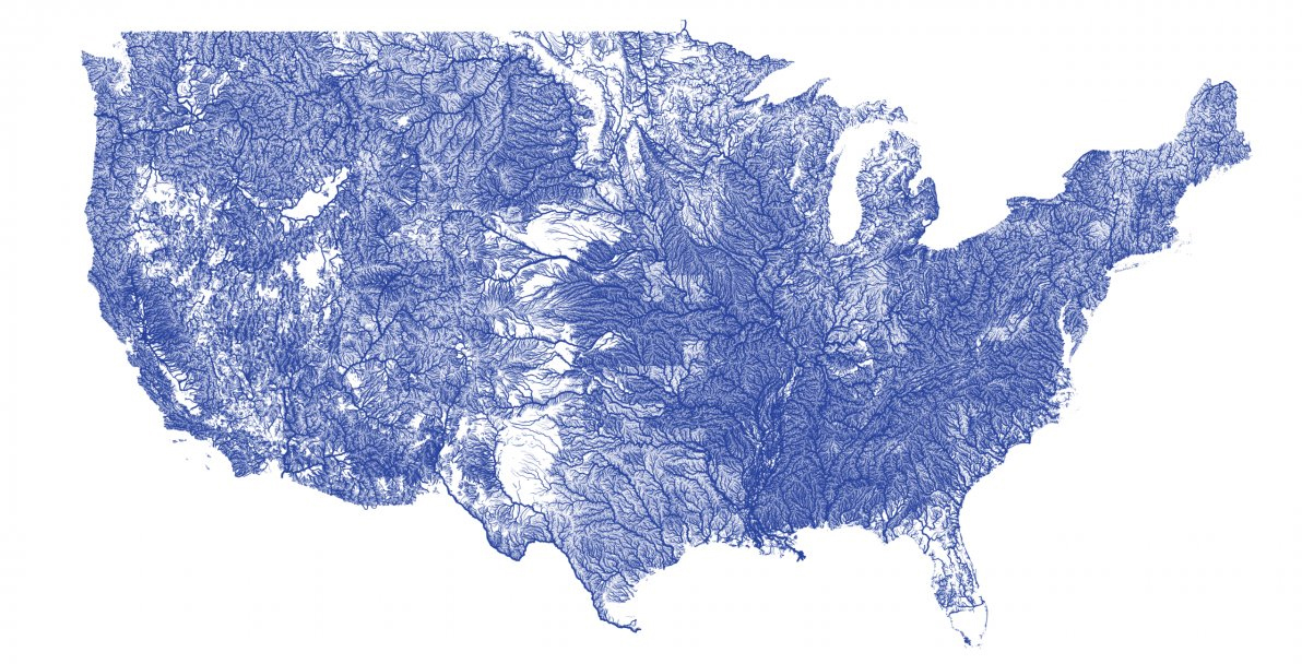
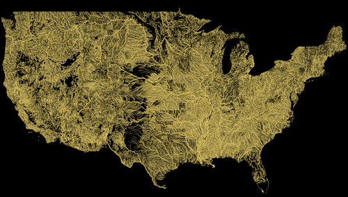
Talk about a watershed moment! These graphics, made by former Google engineer Nelson Minar, reveal every river system in the U.S. Look close and you can see all the country’s major rivers and their arteries, tributaries, and streams.
The project took Minar “a few weeks,” and the purpose was part of a tutorial for software engineers on how to build vector tile maps.
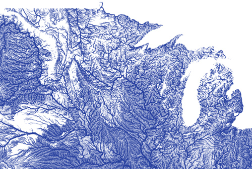
(See higher-resolution images of the river maps on Flickr.)
“I mostly did the one big map because it’s beautiful and relatively easy to do,” Minar told us in an email interview. “Pretty much all mobile maps are vector-based now, and Google is moving to vectors on the desktop; I wanted to learn how that technology worked.”
You can read more on the project at Minar’s blog as well as see larger-resolution river pics on his public Flickr set to zoom in and inspect all the interconnected large rivers of the country and on down to tiny streams.
—Stephen Regenold
(See higher-resolution images of the river maps.)