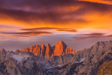
From the Matterhorn to Mount Rainier, the Seven Summits, and more — ‘Mountains of the Earth’ displays the most ‘historic,’ ‘beautiful,’ and ‘remote’ peaks on the planet.
Looking for India’s high point? What about the most prominent peak in America? And how high are the Seven Summits? Learn it all and plenty more with Marmota Maps’ new work: “Mountains of the Earth.”
This wall hang measures 140 x 100 cm (about 55 x 40 inches) and draws attention to hundreds of the world’s mountains. The map represents all of Earth’s peaks over 8,000 m. It also depicts historic mountains, like Temple Mount in Jerusalem, and Mount Olympus in Greece.
And while all the big names are there, observers are bound to discover numerous lesser-known peaks too.
“Mountains of the Earth” color codes the summits (green, yellow, orange, and red) to showcase altitude from sub-2,000 m to above 8,000. And three different icons identify each peak’s prominence.
The map also identifies mountains of historical significance and picturesque peaks around the globe. And though not every summit on Earth is depicted, each map comes with color-coded stickers so customers can add their favorite mountains.
Looking for a gift for the skier, climber, hiker, or traveler in your life? “Mountains of the Earth” might be just the thing. The maps retail between $57 and $428 depending on the print material — paper, foamcore, aluminum composite, or acrylic glass.


