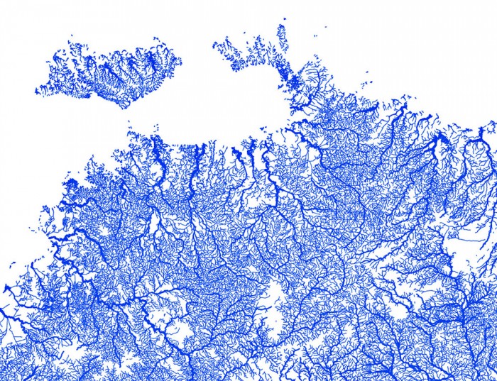
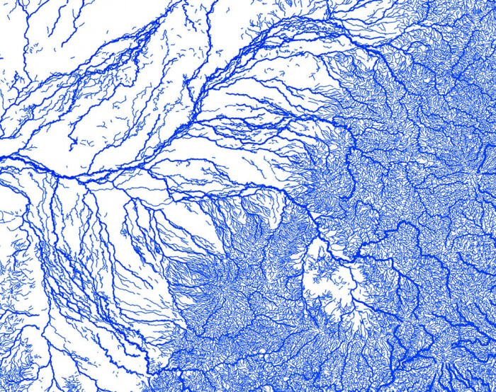
[leadin]Nature is beautiful. Just check out these highly-defined maps of waterways in Australia. When the land is removed only thin blue lines are left.[/leadin]

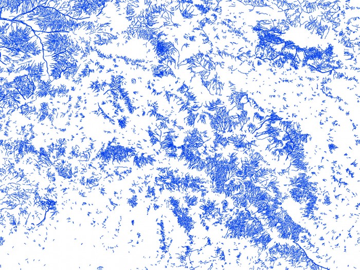
Like capillaries and arteries through the body, these maps show the convergence of tiny, occasional flows into larger and larger streams and rivers in Australia. The result is a ghostly form, the nation’s shape outlined by millions of tiny rivers and streams.
Though they look like art, the maps were created with QGIS using data for 1.3 million streams from Geoscience Australia GEODATA TOPO 250K vector datasets.
A caveat to this representation: Many arid-zone rivers and streams in these maps, the creators note, are “highly ephemeral.” They may flow only once every few years or even decades.
Streams are weighted by both ephemerality (perennial or non-perennial) and hierarchy (minor or major), with the highest weighting for major, ever-flowing rivers.
Suitable as wall art, you can purchase high-resolution versions of these images on Etsy now for just $6.

