Map geeks and explorers are living in a cartographical golden age. We have instant satellite images on a smartphone and technologies at hand now making the mapping of remote regions easier than ever before.
Take a look at the intricate circles on the map below. We found this video-game-like map on an orienteering site, RouteGadget. The concentric lines form a topographic symmetry rarely seen.
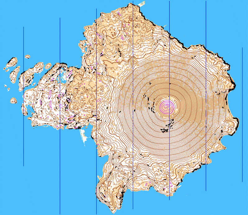
Lidar, a remote sensing technology that uses lasers and reflected light, was employed to grab a new level of detail for the map, which is of Wizard Island in Crater Lake, Ore.
In addition to the tight topo lines, reentrants (ravines), vegetation boundaries, knolls, depressions, and other small features are included on the map. The black dots are boulders or small cliffs.
But taking raw Lidar data and printing a map is not possible for this kind of production. Explained an administrator at RouteGadget: “The contours are generated from LiDAR data [but] these are not just raw contours. They are quite processed ones — filtered, smoothed, knolls with reasonable size searched and mapped, and too-small details erased to make contours easy to read.”
He continued, “You should be able to navigate in this forest just with these contours and nothing else, even without a compass or anything.”
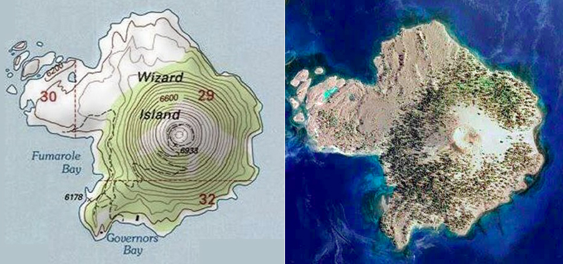
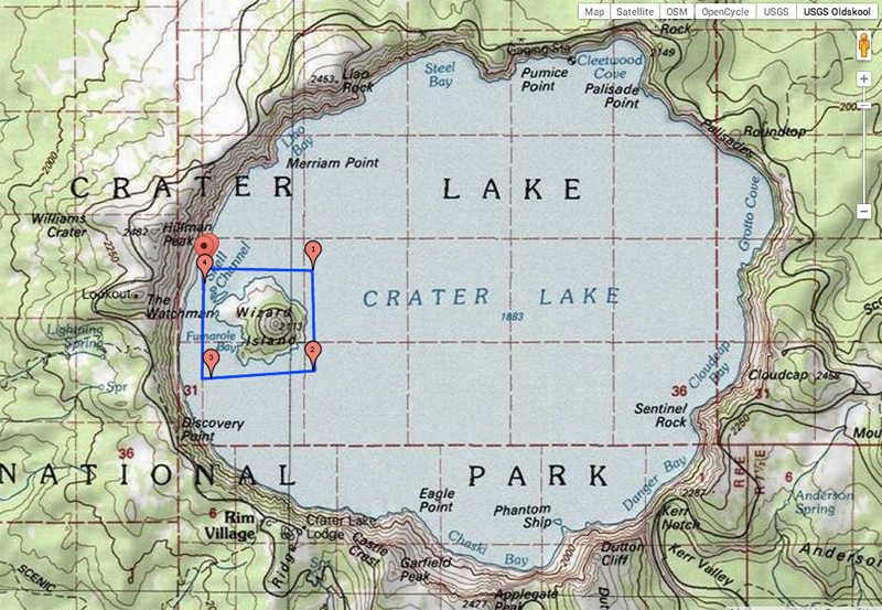
For comparison, see the satellite image and USGS map above of the same island. The detail on both, while neat looking, is outdated when compared to what a Lidar job can do.
In either case, just looking at these maps makes me want to get out the compass and explore. I’d like to climb the concentric topo rings from the island’s edge to the summit of the Wizard’s cone.
—Stephen Regenold
