Hike #2 — Teton Crest Trail, Grand Teton National Park, Wyoming
Distance: 38.1 miles / Time Required: 3–5 days / Difficulty: Strenuous
The Teton Crest Trail in western Wyoming spans 39 miles between Highway 22 Grand Teton National Park.
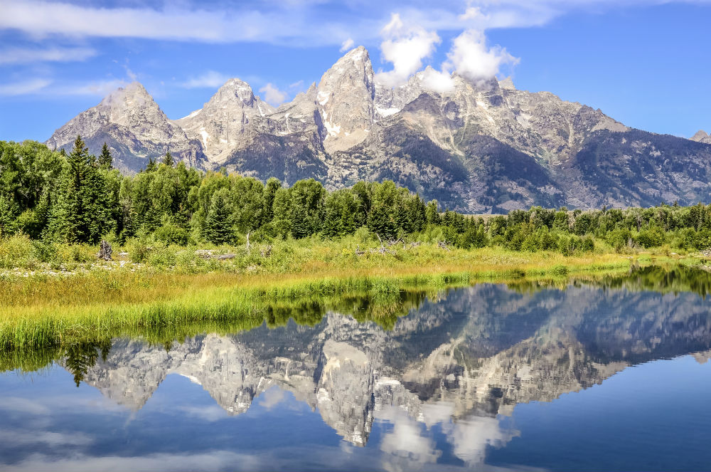
Trace the crest of the Tetons on this classic point-to-point that rarely sinks below 8,000 feet.
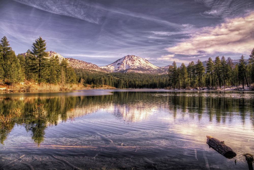
The Teton Crest Trail runs through the scraggy alpine zone west of the summits, dishing out vistas that somehow make 12,325- foot Teewinot, 12,804-foot Middle Teton, 12,928-foot Mount Owen, and 13,700-foot Grand Teton look even bigger.
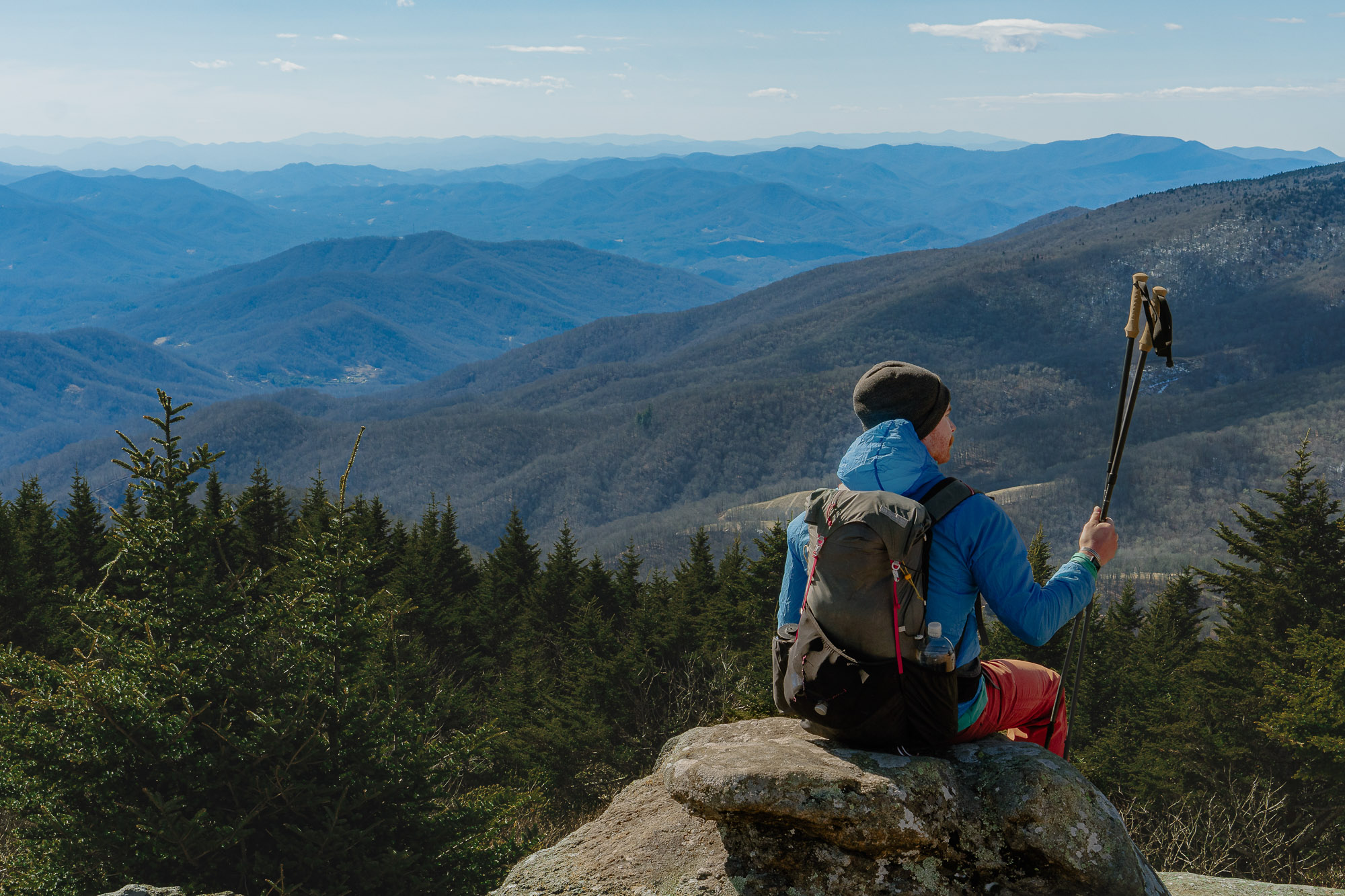
“With all due respect to the John Muir Trail,” declares former Backpacker Northwest editor Michael Lanza, “the Teton Crest will forever be my all-time favorite. Its combination of constant, incredible scenery, great campsites, abundant wildlife, and accessibility for all types of backpackers is simply unmatched.”
Route: This high route crosses tundra bejeweled with paintbrush and offers mesmerizing and constant views of jagged peaks, and lets you camp with center-balcony views of everything—the perch on Death Canyon Shelf will make you want to homestead right there.
The full route links Teton Pass on WY 22 to String Lake in Grand Teton National Park, but other approaches are also popular: Take the Teton Village tram and hike to Marion Lake to pick up the trail at mile 10 and save 2,500 feet of climbing, or start at the Coal Creek or Moose Creek trailheads. Hiking south to north includes more elevation gain, but saves the best views for last.
