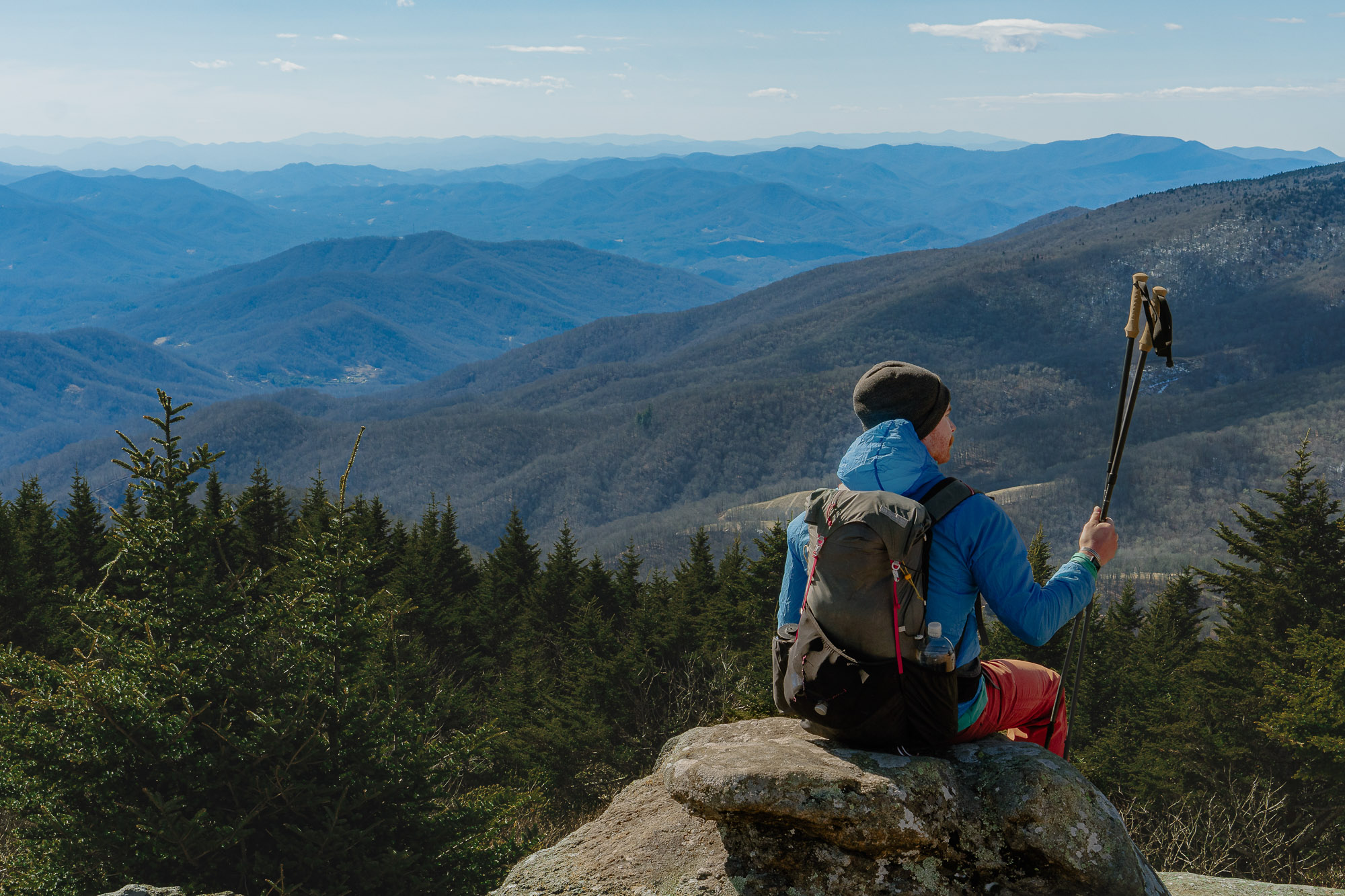
Hiking is an American pastime. And, lucky for us, the United States is one of the most landscape-rich countries in the world. Here are seven of the best day hikes in the country.
Presented by
Day hiking is akin to backpacking, but it can often add an extra element of toughness; you’re not on a one-way journey for the day. On a day hike, what goes in must come back out.
It does, however, offer all the creature comforts at the end of a day in the field. And the U.S. is one of the world’s most iconic countries for day hiking.
With 640 million public acres of potential hikes to choose from, it’s difficult to say these are truly the best day hikes in the country.
But, they’re certainly well worth a day’s effort. And most are connected to broader landscapes worthy of a longer visit. It’s no surprise that many National Park hikes make the list, and with 58 to choose from, even that is difficult to narrow down.
So if you’re looking for some ideas to get your shoes dirty, read on for 7-day hikes you should be sure to stick on your bucket list.
Columbia Facet 60 OutDry Mid

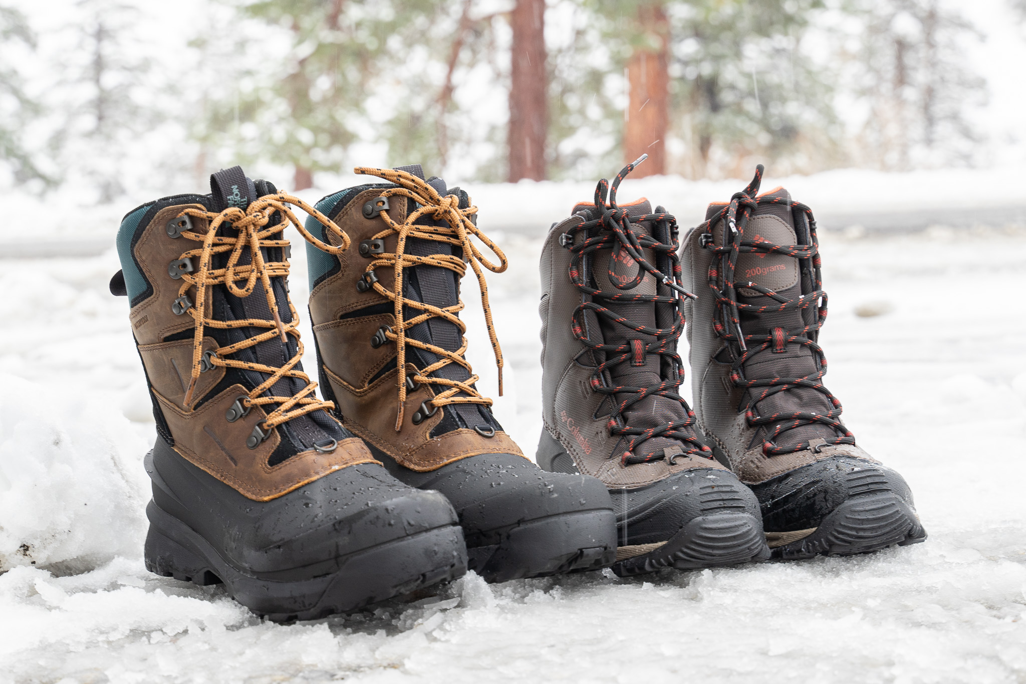
Fuel your inner fire with the Facet 60 OutDry. A technical hiker with a running-inspired fit, this shoe offers extra-light, responsive Techlite+ cushioning, Navic Fit lacing system, and a gripping outsole to tackle any terrain.
Made with breathable waterproofing, you can go from trail to town in any weather.
The Best Day Hikes in the US
Note: We’ve added the nearest city or park to each hike for context, and car travel is likely required to get to the trailhead. And check road descriptions to make sure your vehicle can make it.
Denver, CO: Greys and Torreys

Among day hikers in Colorado, hiking a 14,000+ foot mountain is carried as a badge of honor. And if you hike Greys and Torreys, you can bag two 14ers in one day.
This particular day hike is also known as one of the mellower of the 58 14ers in the state of Colorado — an entry-level 14er, if you will. And because of that, it does see a higher level of traffic.
But traffic can be avoided by choosing to hike on a weekday or planning around the edges of seasons. Be careful, though. The high elevation can be difficult for lowlanders to adjust to, and elevation sickness is a real concern above 9,000 feet. If you feel ill, drop down in elevation and try another day.
However, this trail is a rather straightforward out-and-back with unbelievable views of multiple ranges within the Rocky Mountains. Standing on a 14er affords some of the most mind-bending views in the country, and hiking one adds some serious bar brags to your belt.
- Location: Idaho Springs, CO
- Hiking Experience Level: Intermediate to Expert
- Travel Time From Denver: About one hr.
- Total Hiking Distance: 8.1 mi.
- Difficulty: Strenuous
- Elevation Gain: 3,622 ft.
- Highlights: Bagging two 14ers in a day, plus killer views of the Rocky Mountains
Arches National Park: Delicate Arch Trail

The Delicate Arch is the only free-standing arch of its kind in the world. And the short trek to see it is well worth the moderate 1.5-mile climb.
Along the way, you’ll walk giant swaths of red desert rock, watch lizards skitter into the shaded cracks, and traverse one tight edge. But when you come around the corner, the arch sits on a precarious edge of a red rock bowl in all her stunning glory.
Though the hike is short and sweet, it can reach temperatures well above 110 degrees on the rock surfaces in the warmer seasons. Folks who are out of shape, elderly, or very young might want to avoid this hike, especially on high heat days.
Bring plenty of water, don’t hike in the middle of the day, and try to hike on a weekday to avoid heavy foot traffic.
- Location: Arches National Park (Utah)
- Hiking Experience Level: Beginner to Intermediate
- Travel Time From Moab, UT: 36 min.
- Total Hiking Distance: 3.2 mi.
- Difficulty: Easy to Moderate
- Elevation Gain: 629 ft.
- Highlights: The red desert country and an arch like no other in the world
Glacier National Park: Avalanche Lake via Trail of the Cedars

This is such a great hike, and it’s in one of the most incredible landscapes in the U.S. Think of this as a starter hike for Glacier National Park.
Easily done in a day, Avalanche is a stunning high alpine glacial lake in an incredible bowl of mountains. The glacial blue waters are turquoise beyond your imagination, and you climb along Avalanche Creek for the duration of the hike.
High mountain views impress from nearly every direction, and the wide path is traversed by many. The minimal elevation gain makes the hike a great entry point for kids and beginning hikers alike. And animals like marmots, mountain goats, deer, and a variety of birds are often seen near the trail or on adjacent cliffs.
This is, however, grizzly and black bear country. And grizzlies frequent the area. No worries, they almost always leave hikers alone. And in the many times that I personally have hiked this trail, I’ve yet to see a bear.
So, educate yourself, carry bear spray in a reachable space, and pay attention.
- Location: Glacier National Park (Montana)
- Hiking Experience Level: Beginner, with bear safety education
- Travel Time From West Entrance: About 30 min.
- Total Hiking Distance: 5.9 mi.
- Difficulty: Easy to Moderate
- Elevation Gain: 757 ft.
- Highlights: The blue beauty of Avalanche Creek, giant cedars, incredible scenery, and wildlife potential.
Yosemite National Park: Half Dome via the John Muir Trail

Half Dome is a full-day hike package. This is not a hike for beginners, nor is it a hike you can complete spontaneously. In order to hike the whole of Half Dome including its famous cables, you’ll have to have a permit. And these are distributed by lottery through the National Park Service.
But, whether you get the permit or not, you can hike the majority of Half Dome and experience a section of the wildly beloved John Muir Trail (JMT) for yourself. This iconic hike takes you through many of Yosemite’s most spectacular features, including Vernal and Nevada Falls, Liberty Cap, Half Dome, and really big views of Yosemite Valley and the High Sierra.
The 400 feet of cables allow for hikers to reach the rocky summit without climbing gear. And though they are relatively safe, some danger is inherent in any such activity. Lightning can be a big danger on this particular hike, so pay close attention to the skies.
And prepare more than adequately. The NPS even has a 10-minute video to help you stay safe on this particular trail. Watch before you go.
- Location: Yosemite National Park (California)
- Hiking Experience Level: Expert
- Total Hiking Distance: 15.9 mi.
- Difficulty: Very strenuous
- Elevation Gain: 4,800 ft.
- Highlights: Section bragging rights on the JMT, hiking an icon, incredible views
Great Smoky Mountains National Park: Alum Cave Trail to Mount LeConte

One of the most beloved hikes on the eastern seaboard, the Alum Cave Trail to Mount LeConte is a treasure trail nestled within the Great Smoky Mountains.
Reviewers gush about the views from this hike, as well as the technical aspects of one of the rockier hikes in the park. Like Half Dome, cables are incorporated in a few spots. But unlike Half Dome, you don’t need a permit to utilize them.
Waterfalls, well-maintained trails, a cave, and more keep this trail interesting along the way.
- Location: Great Smoky Mountains National Park (North Carolina)
- Travel Time From Gatlinburg, TN: 29 min.
- Total Hiking Distance: 10.9 mi.
- Difficulty: Moderate to Strenuous
- Elevation Gain: 2,896 ft.
- Highlights: The iconic Inspiration Point, a cave, lots of historic sites along the way
Zion National Park: The Narrows, Bottom up to Big Spring

The Narrows is a one-of-a-kind hike that stands out in a crowd. A long hike through the narrowest part of the incredible Zion Canyon, you spend most of it walking through the Virgin River. Beyond Big Spring, you’ll need a wilderness permit for access. These can be difficult to get, so plan ahead should you want to go further.
Getting your feet wet is the norm in the Narrows, and late spring and summer are the best times to take on this epic hike. Local outfitters offer rentals for water shoes and neoprene socks, and trekking poles are a must as you encounter various depths of water along the way.
And weather is something to definitely pay attention to here. The Narrows is known for flash floods, and these can be wildly dangerous. Check the flash flood potential before you go off-grid in the park, and pay attention to any warnings posted by the park service.
A final note: Bring plenty of your own water. Cyanotoxins are present in the Virgin River, and they can present a real invisible danger, as they’re difficult and sometimes impossible to filter out.
- Location: Zion National Park (Utah)
- Hiking Experience Level: Intermediate to Expert
- Total Hiking Distance: 8.9 mi.
- Difficulty: Moderate to Strenuous
- Elevation Gain: 695 ft.
- Highlights: 1,000-foot cliffs on either side of you, wading in a desert river, the songs of canyon wrens, and much more.
Millinocket, Maine: Mount Katahdin

The northern point for thru-hikers on the Appalachian Trail, hiking Mount Katahdin is akin to standing on the precipice of the eastern seaboard.
One reviewer says, briefly, “There is no better hike in New England,” and the words ring true. This particular hike to the top is a loop trail, allowing hikers to see a great amount of country over the period of nearly 11 miles.
Pay attention to the massive amount of elevation gain — the only hike on this list that exceeds it is Half Dome. This is a lot of gain. Fitness is key.
But, if you’re up to it, you’ll be gifted with incredible views of Acadian forests, dramatic rocky landscapes, and a panoramic view of mountains and water out to the horizon.
- Location: Baxter State Park (Maine)
- Travel Time From Millinocket: 48 min.
- Total Hiking Distance: 10.9 mi.
- Difficulty: Strenuous
- Elevation Gain: 4,475 ft.
- Highlights: Truly dramatic landscape, high rocky features similar to the Mountain West, epic views of the Appalachians
This article is sponsored by Columbia. Shop the Facet collection and more hiking footwear.

