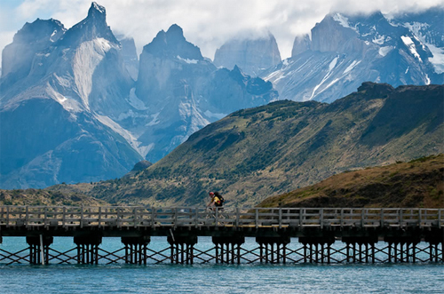
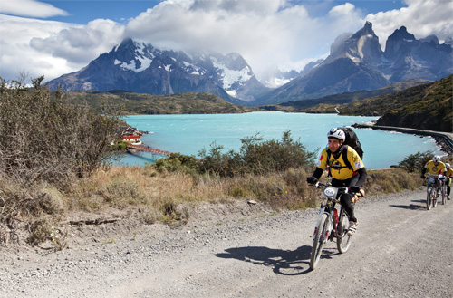
Granite peaks spiked on the horizon. Clouds whipped overhead. It was February in the Patagonia region of southern Chile, and I was on a mountain bike riding through the grandeur of Torres del Paine National Park. The road curved and dropped ahead, my riding partners braking as wheels sliced the gravel. “Look at that view!” someone shouted, the Patagonian wind picking up, cancelling in a fierce roar any opportunity to respond.
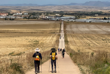
I was speechless anyway. It was day one of an endurance event, the Wenger Patagonian Expedition Race, that I’d signed up to compete in for the second year in a row. With a team of four people, our journey ahead would include biking, kayaking, and mountain treks — one after the next — for a week straight.
Beyond serving as the craziest adventure of my entire life, the Wenger Patagonian Race allowed me over the past two years to see an enormous swath of Chile’s famous wilderness. Indeed, I have spent almost two months of my life in the region, most of it outdoors and immersed in lands so wild that few humans will ever see.
From my experience in the race, I offer this guide to Chilean Patagonia, an end of the Earth kind of a place with the scenery and the climate to match. Pack your best rain jacket — it’s often wet and windy at the bottom of the world. And load up on your sense of adventure. Patagonia is one of the planet’s last great wild places. —Stephen Regenold
Click for FULL–SCREEN SLIDESHOW of Wenger Patagonian Race
Punta Arenas — A trip into the outback of Patagonia often begins in this city, the capital of Chile’s Magallanes and Antartica Chilena region. It is a hub for adventure travel in southern Patagonia, including an airport, guides and outfitters, hostels, grocery stores, and gear shops. We flew to Punta Arenas from Santiago — via Lima, via New York, via Minneapolis/St. Paul International, a 20+ hour trip in total — and took a taxi to the city’s central square. Punta’s streets slope to the Strait of Magellan, a blue-gray plane of cold water. It is a welcoming if somewhat sleepy city and a perfect base for your trip into the wilds.
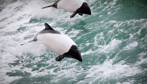
Strait of Magellan — Picture Lake Superior or a vast Canadian Bay. But with salt water and strong currents. Oh, and penguins, too. The Strait of Magellan is a great, dark waterway that cuts an immense V-shape through the tip of South America, providing passage for ships and numerous opportunities for the adventurous traveler. In and around Punta Arenas, you can rent kayaks and take boat tours, a popular one motoring northeast to Magdalena Island where tiny Magellanic penguins live and breed.
Click for FULL–SCREEN SLIDESHOW of Wenger Patagonian Race
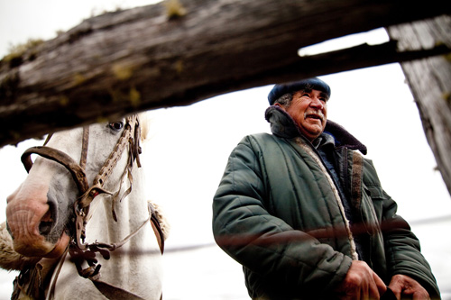
Isla Grande de Tierra del Fuego — Across the strait from Punta Arenas, the main landmass in the archipelago of Tierra del Fuego, the “land of fire,” is Isla Grande, and it is a wildly diverse place with endless dry plains in the north, forests, beaches, vast swamps, glaciers, and mountains in the far south to 8,000 feet. In the Patagonian Race, we biked more than 150 miles on dirt roads and trekked into the Darwin Mountains. It was likely the most wild place I have ever seen. Infrastructure for tourism in the island’s interior is sparse, though trout fishing (some of the best in the world) is luring more people inland. On the south side of the island the town of Ushuaia, which is in Argentina, is one of the world’s most southerly towns, a major port, and a hub for area tours.
Click for FULL–SCREEN SLIDESHOW of Wenger Patagonian Race
Torres del Paine National Park— Jaw-dropping spires and mineral-blue mountain lakes dominate the scenery at this famous park, which is about 200 miles north of Punta Arenas. For area visitors, Torres del Paine is a must-see, and with hiking trails, maps, park rangers, and lodging it is among the most accessible as well. The sheer spine of the Cordillera del Paine, a toothy granite ridge that juts thousands of feet in the air, is perhaps the most iconic piece of topography in all of Patagonia. The park’s popular “W” trek includes a multi-day itinerary to hike to the base of the Cordillera, to glaciers, across whitewater rivers, and to camps beside pristine mountain lakes.
Click for FULL–SCREEN SLIDESHOW of Wenger Patagonian Race
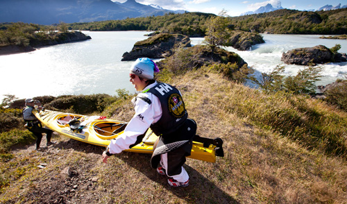
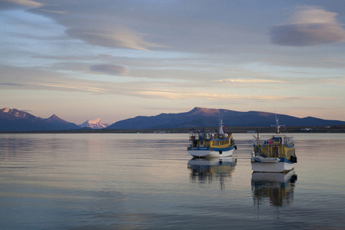
Chilean Fjordlands— The ragged west edge of Chilean Patagonia is an endless labyrinth of fjords. We kayaked for an epic day almost 50 miles through an immense fjord west of Puerto Natales, a town that’s a jumping off point for travelers looking to sample these iconic natural features. Paddling excursions and motorboat trips, including multi-day cruises, are available in the town. Watch for blue and humpback whales, orcas, sea lions, and black dolphins as you drift into the no-man’s land beyond the port.
Click for FULL–SCREEN SLIDESHOW of Wenger Patagonian Race
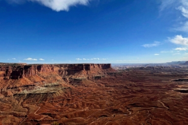
Pali-Aike National Park— Desert views, sheep ranches, and stout volcanic craters that poke out of flat land dominate in and around Pali-Aike National Park. Northeast a couple hours’ drive from Punta Arenas, the Pali-Aike area looks and feels like something out of Montana or Wyoming, but emptier and more desolate than anyplace in the United States. Wind rakes the sand and dirt here, the immense gusts of the “roaring 40s” latitudes rocketing across the harsh, dry region. A small park building at Pali-Aike’s entrance and worn dirt roads lead to craters and vague trails, rarely traveled and little-known.
continued on next page. . .

