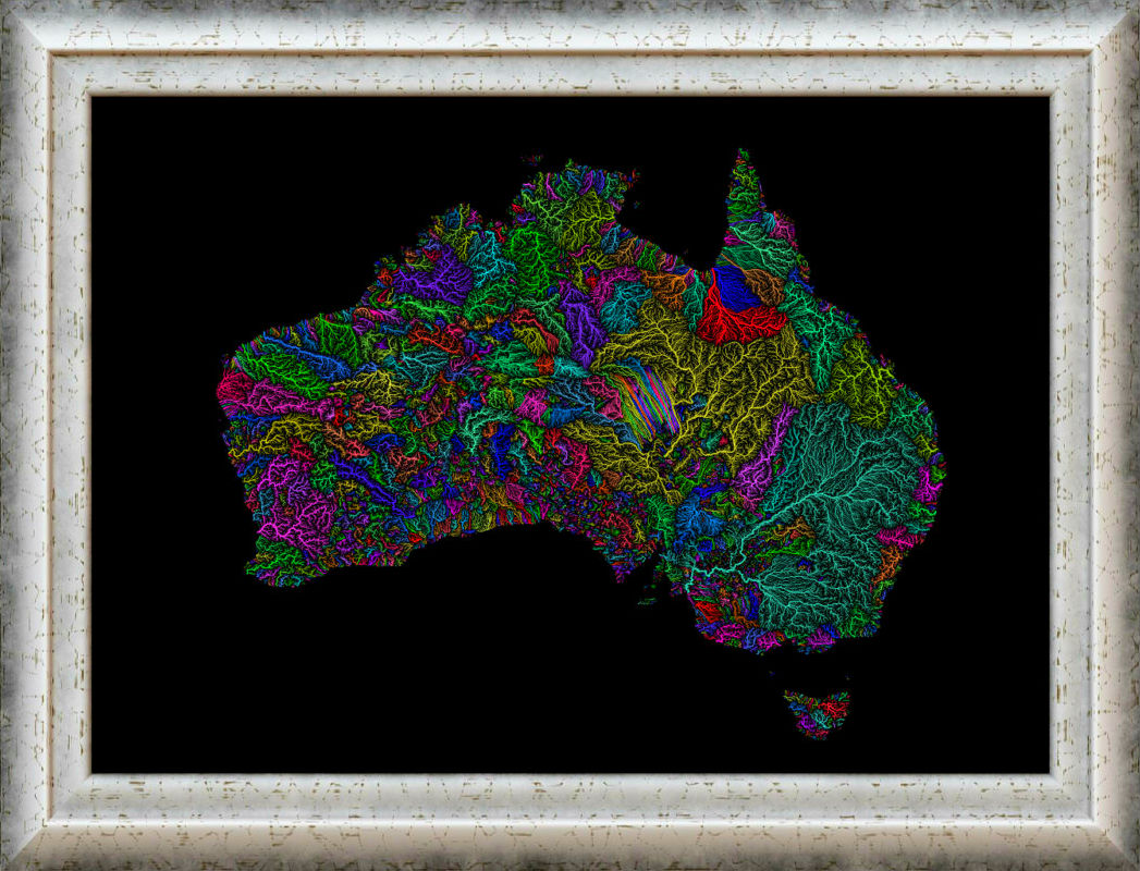
Colorfully illustrated maps of the watersheds of the world reveal an unexpected beauty you can hang on your wall.

The stunning, high-resolution maps depict every permanent and temporary stream and river. Each color represents a different “catchment area,” roughly analogous to major river basins.

The map of America shows the massive reach of the Mississippi River (pictured in pink). The Colorado River basin in yellow the Pacific Northwest basin in orange, and the New England basin in green round out the major U.S. river systems.
Maps Around The World

Obviously, the map of America’s rivers caught our attention, but map creator Fejetlenfej has over 80 maps of continents, countries, and individual U.S. states.
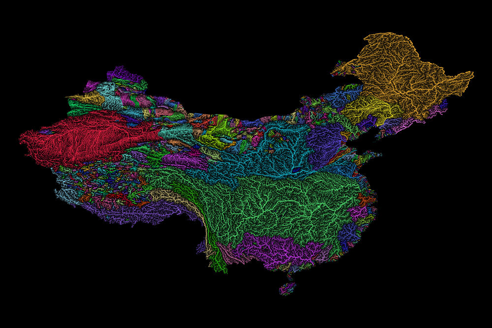
Streams on these maps are depicted according to the Strahler Stream Order Classification. Primary waterways like the Mississippi are thicker, with lesser streams more narrow.
According to the author’s page, the maps were mostly created using open-source QGIS software.

Each image is available for download and printing from Etsy for $8 with a white or black background. Art may be in the eye of the beholder, and we find these prints remarkable and frame-worthy.