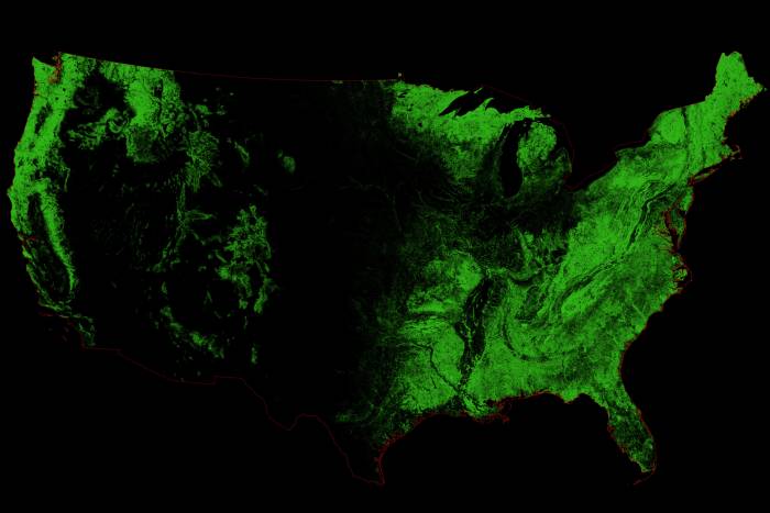
Ever wonder what the U.S. would look like with only forests depicted? One map-savvy artist answers that question with a stunning new design.
Map creator Robert Szucs, of Etsy page Grasshopper Geography, follows up his successful watershed map series with a new series on forests.
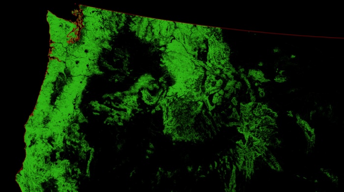
Using open-sourced satellite data, Szucs isolated where forests lie in the U.S. The more vibrant the color, the denser the forest. Black areas indicate zero forest cover.
He sells the maps on his Etsy page for $8. With the purchase, you get an extremely-high-resolution (14,043 x 9,933 pixel for the U.S. forests) image file. Print it yourself on the surface of your choice.
Forest Cover Maps
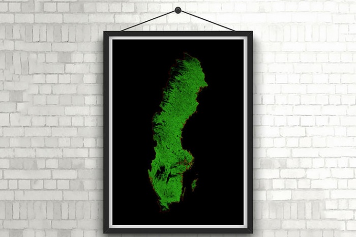
Szucs created several forest cover maps depicting other locales. From the thick forests of Sweden (above), to the Amazon rainforest in South America (below), the maps give a unique look at our natural world.

