After hiking 2,650 miles through the deserts, redwood forests, and rocky cliffs of the Pacific Crest Trail this summer, our team decided paper maps are a mandatory piece of gear.
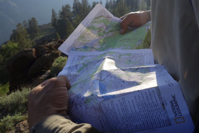
Our team – Seth “Cap” Orme and Paul “Spice” Twedt – just finished hiking border-to-border from Southern California to Canada using paper maps.
With a plethora of navigation apps, and the rugged, beautiful, and challenging PCT, here’s why we chose low-tech.
Devil’s In The Details
Let’s start by pointing out that some of those apps don’t show anything but a red line and whether or not you are on it. Maps show the surrounding terrain, names of peaks, passes, nearby rivers, and other features. They create a much clearer picture of your surroundings and help triangulate location.
Knowing more about the place you travel through helps to connect with the area and become more engrossed with it. Knowing names of peaks and points of interest helps solidify the experience in your memory.
For example, names like Pulpit Rock, Devil’s Staircase, and the Golden Staircase are worth knowing, especially when you can recognize them upon first sight.
Unlimited ‘Battery Life’
Let’s face it, entering the wilderness relying solely on an electronic device is risky. Maps don’t run out of batteries.
Batteries will die, and electronics can fail in myriad ways. Sure, you can carry backup batteries and solar chargers, but they add more weight to your pack that you want to be as light as possible.
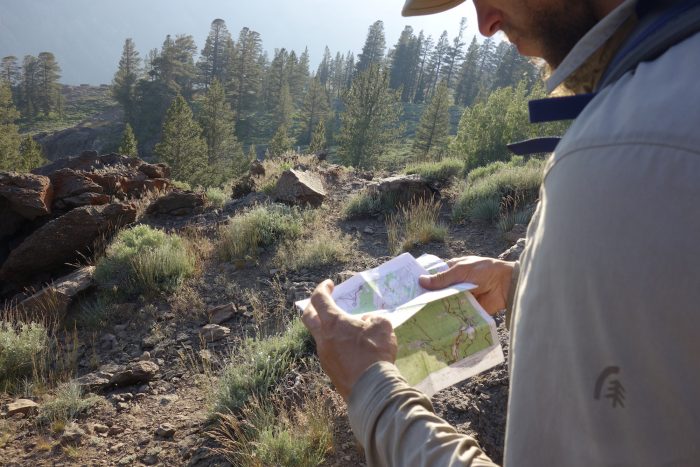
Maps don’t die, and they also dry. If you get them wet – leave them be, let them air out, and they are usually still functional. Electronics? Only some GPS devices are waterproof and few smartphones are.
Topo, Waypoints, Warnings
Topographic maps help show all the details of your surrounding terrain, including contour lines, which can help determine where to camp and where to press on.
The Halfmile PCT maps we used were scaled enough to see important details, yet far enough out to cover some distance with each map at 1:31,680 feet. That equates 1 inch to a half-mile.
Each section has an elevation profile attached so you can easily forecast the upcoming elevation gains and losses throughout your journey.
Waypoints marked with detailed data include water sources, and campsites. Even basic town info is included on Halfmile’s maps. Always check a recent PCT water report along with your map.
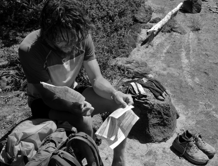
Important tips and warnings are also included. “The next Northbound water may be 23 miles away,” for example, is essential.
This type of simple calculation already done and posted as a warning can be incredibly useful. This is especially true if you’re experiencing “hiker brain,” where everything is fuzzy, obscure, and thinking becomes a challenge. (Tip: Drink more water).
Map And Compass Skills Are Key
Personally, I think it is wise to be prepared with a map and compass when traveling. Having and knowing how to use these simple tools will enable you to travel the backcountry with a higher level of comfort and confidence. This allows you to get off trail and even deeper into the wild.
Hikers absolutely engrossed with their phones are all too common these days. Don’t be a slave to your device for navigation; learn to use a map and actually live in the moment of the experience.
Halfmile’s free maps are available here to print for yourself, either as a small section or the whole trail. You can also order them for a fee via Yogi’s Books.

