A new 600-mile multiuse northern Sierra Nevada trail seeks to showcase national forests and critical waterways and invigorate mountain communities.
Thanks to the Sierra Buttes Trail Stewardship (SBTS), U.S. Forest Service, and other collaborative partners, work has begun on a trail that will connect the Lake Tahoe area with little-visited Northern California mountain towns.
Called the Connected Communities Project, its ambitious community and conservation objectives will culminate in the 600-mile Lost Sierra Route. The proposed route will run from Reno, Nev., through the Sierra Nevada into the southern Cascades in northeast California.
In its course, it will connect the main streets of 15 mountain towns in the so-called Lost Sierra region of Sierra, Plumas, and Lassen counties.
It arrives with high, altruistic hopes. The project’s stated objective is to “diversify recreation throughout the region, provide economic stability as well as support fire recovery and prevention efforts.”
It’s an ambitious list of initiatives, and if the plan goes accordingly, it will produce an ambitious trail project.
600 Miles of New Sierra Trails
The Sierra Buttes Trail Stewardship (SBTS) calls the Lost Sierra Route a “Trail For Everyone,” which looks like a statement of its multiuse capacity as much as an inclusivity claim. As proposed, the Lost Sierra Route will welcome all dirt trail travelers, including hikers, mountain bikers, motorcycle riders, horseback riders, trail runners, hunters, and anglers.
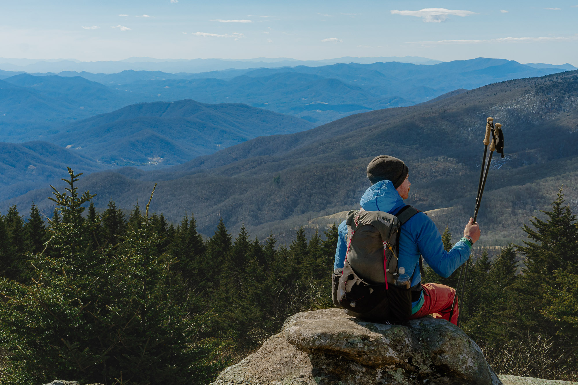
In practice, it seeks to bring signature high Sierra trail access to a broader audience. The route promises similar alpine meadow, and high peak terrain as hikers find on the John Muir Trail and Pacific Crest Trail. Unlike those classic routes, though, it will be open to all comers.
Notable passages include the headwaters of the Yuba and Feather Rivers, which deliver more than 65% of California’s drinking water.
The route interconnects small towns like Portola, a former railroad boomtown, and Westwood, which once set a logging record for the most board feet sawn in a year.
It also passes through Greenville, Calif., which saw 75% of its structures burn down in the 2021 Dixie Fire.
The SBTS still needs to jump through many regulatory hoops before finalizing the trail’s route. However, a map of the current proposed route is available here.
Strengthening Local Economies Through Trails
The Sierra Nevada Conservancy helped the SBTS fund what figures to be a substantial construction bill for the Lost Sierra Route. Initial cost estimates for the Connected Communities Project check in at $40.3 million.
The SBTS will leverage its locally sourced paid trail crew, significant volunteer resources, and local influence toward the effort. Its professional trail crew includes full-time and seasonal workers among 37 employees.

But the 501(c)(3) nonprofit’s volunteers might put up most of the grunt work. Since 2003, SBTS reports it has supervised 89,900 hours of volunteer labor. For context, you’d need to work full-time for 43 years to rack up those hours if you punched the clock every day.
SBTS draws on several race festivals, an affiliated bike shop in Downieville, Calif., and the usual suite of grants and donations to render funding for the Connected Communities Project. The organization says it focuses “all its activities on developing the Lost Sierra Route and supporting the local economy.”
Most of the trails in the Lost Sierra are remnants of its long mining and timber history. But now, more mountain bikers than mules cover the complex network.

The organization also plans a “passport” system to help local businesses draw in visitors from the trail. If trail users register at trailheads and follow the routes into town, they can redeem specials at participating shops and get their passports stamped.

SBTS hopes the network will not only attract tourists but also drive more Lost Sierra locals to explore beyond their hometowns. One business owner sees the passport system as a conversation starter and a motivator for local travel.
“I sometimes feel a little isolated here,” said Kelly Tan, owner of Young’s Market in Taylorsville. “We’re all in our little towns, and [if] you have a small business, you work long hours. If you do this, and you stamp [your] passport, you see where people have gone. You listen to their stories. You’ll feel like part of something way bigger, and it’ll make you want to get out when you get a free moment.”
Lost Sierra Route Timeline
Of course, logistics for the Connected Communities Project will be massively complex. The concept launched in September 2020. At that time, the project gained traction as public engagement suggested widespread support.

After the SBTS spent a few months mapping infrastructure and possible routes, it started an initial approval process through the Forest Service in July 2021.
Route and infrastructure development is scheduled to start in April. But the SBTS pegs April 2025 as a delivery window for the finalized trail plan.
Pending approvals through federal and state environmental regulations, trail work will, at long last, proceed unencumbered. If the SBTS can pull it all together on schedule, trail workers will cut the Lost Sierra Route’s last miles by Christmas 2030.

Go to the Sierra Buttes Trail Stewardship website to learn more about the Connected Communities Project. Funding, planning, and donation information are readily available. You can also find a guide to fire lookouts in the area and historical information on the Lost Sierra Route’s 15 stops.
“This is our chance, through recreation, to really hold onto what happened here during the mining [and timber] era,” SBTS Executive Director Greg Williams said. “We need to progress as a people and have some pride in it. I’m confident that Connected Communities will be built in such a way [that will] change people’s lives. This will last generation after generation.”


