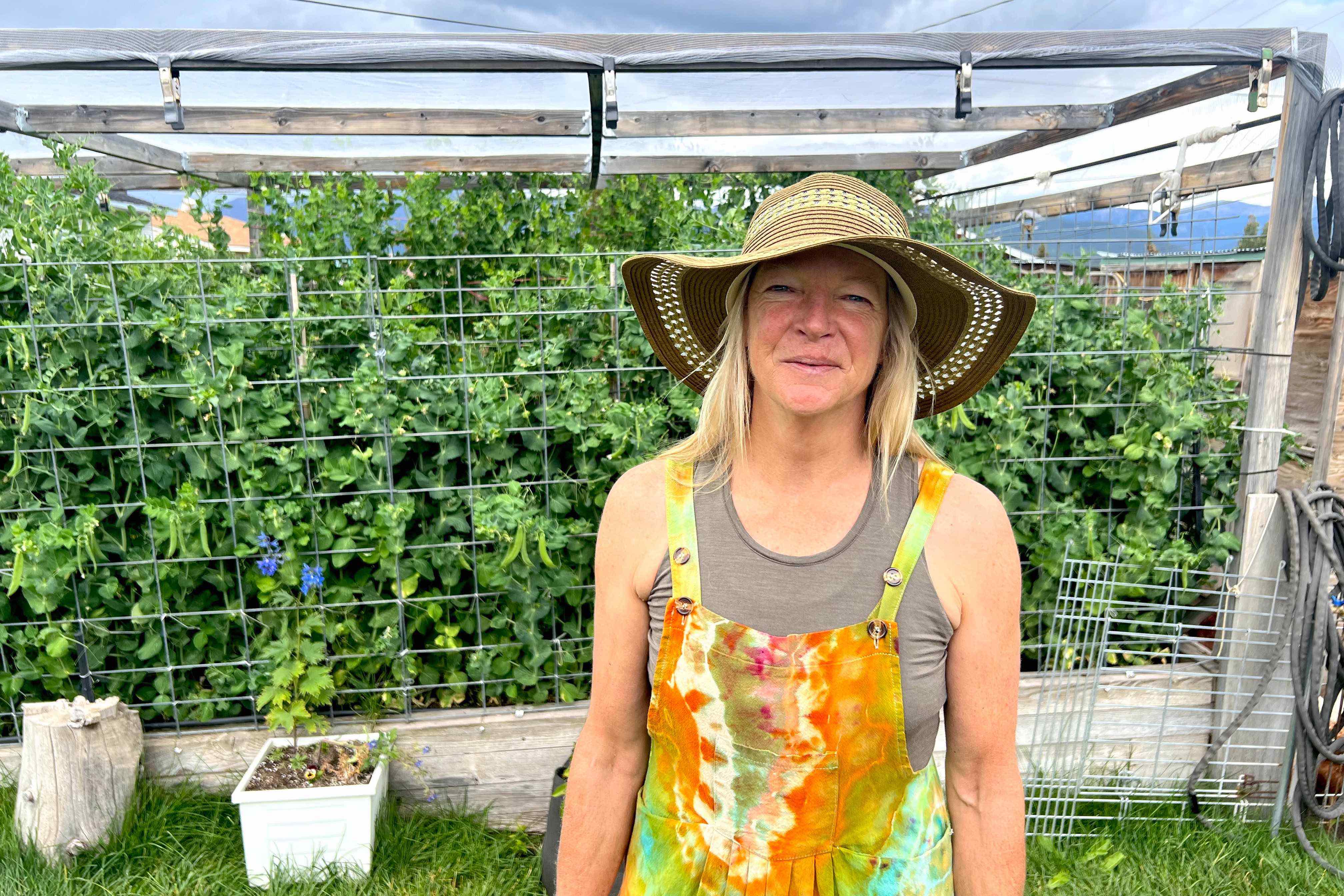
Loretta McEllhiney was shelling peas in the backyard of her Leadville home, surrounded by a lush, overflowing garden, when we spoke. Summer storm clouds were gathering over Mount Massive behind us — a mountain, I’d soon learn, that was her favorite fourteener out of all 56 in the state.
“It’s appropriately named,” she told GearJunkie with a wry smile. “It is a huge mountain.”
McEllhiney would know. She spent more time wandering the slopes of Colorado’s 14,000+ foot peaks than probably any other living human, past or present. She is responsible for the standardized trails we all follow to their summits. Not only was she the impetus behind the state’s initiative to build those trails, but she was also the person who scouted, scoped, mapped out, and designed almost all of them foot by foot, peak by peak.
“When I started this, I had no idea what I was doing,” she told me earnestly. “We had standards, but honestly, our standards were for normal hiking trails — not for mountain climbing trails.”
So she had to learn, and even create new standards for the U.S. Forest Service (USFS) as she went. She consulted with many experts and was always part of a team moving toward a shared goal. But, McElhinney is credited with leading the charge for most of her 33-year career working for the USFS.
She spent countless nights on fourteener slopes and roughly 100 days a year climbing them, exploring the alpine environment, and seeking out the best routes for public trails to the tops of each and every one.
She retired late in August 2024. I met her at her Leadville home a week into her retired life to talk about these trails — her legacy as the USFS manager of the Colorado Fourteeners Program — and what it took to build them.
Queen of the Fourteeners: Loretta McEllhiney
McEllhiney said she had plenty of bad days working on fourteeners. She witnessed and responded to plane and helicopter crashes on Mount Massive. She’s been stuck in violent summer lightning storms. Many days were just tedious exercises in trail design, measuring slope angles, taking notes, and mapping for hours on end, covering many miles in 100-foot sections.
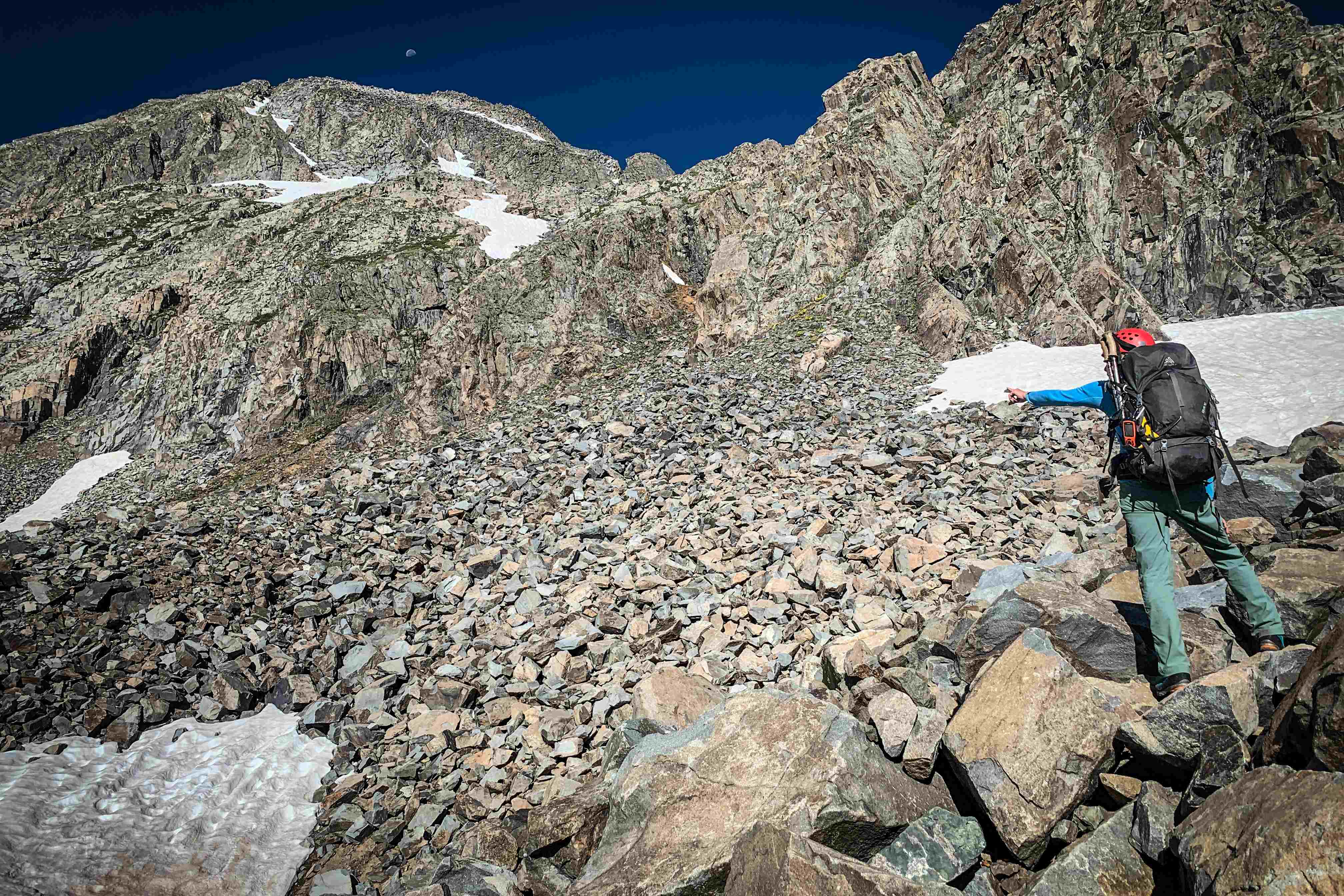
But the reward was worth the effort. McEllhiney was doing this to protect some of the state’s most sensitive and vulnerable ecosystems. Without standardized routes, people were climbing straight up the alpine slopes, creating gullies and social trails. When it rained, those became channels washing away the soil — and that was a big problem.
“In the alpine, soil builds at about one inch per 1,000 years,” McEllhiney told me. “That’s tough to lose. It won’t recover any time soon.”
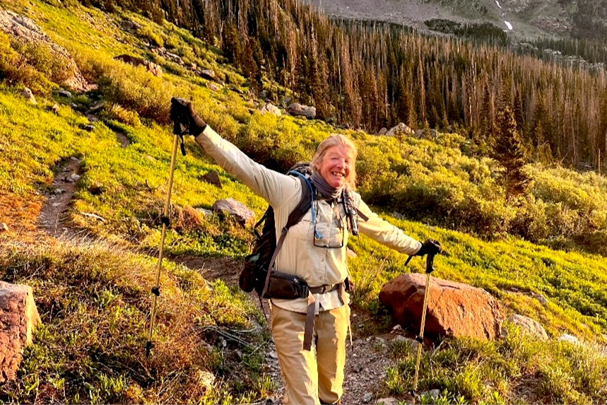
When McEllhiney joined the USFS in 1991, only two fourteeners had standardized trails: the Barr Trail on Pike’s Peak and the Keyhole Route up Longs Peak. That left 52 14,000+ foot peaks that were being torn asunder by armies of hikers route-finding, climbing like ants all over these lofty peaks. (Today, thanks to more recent geologic surveys, the total number of fourteeners in Colorado has risen to 56.)
Both soil and vegetation were being lost en masse. And as the alpine environment suffered, so too did all of the creatures that lived there. Pika, marmots, mountain goats, big horn sheep, and many other alpine animals were under serious threat.
“We realized, ‘This is bad,'” she said. “We had to do something … If we didn’t get on it and start addressing it, we were going to have bigger problems.”
A Creative, Scientific Process
Time was running out for Colorado’s alpine ecosystems. So McEllhiney threw herself at the task of protecting them — and that meant designing trails for every single one.
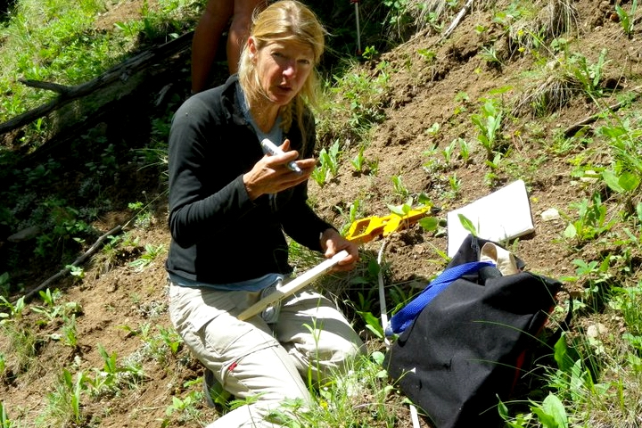
When she started describing her process, it became clear she wasn’t just mapping the easiest route to the top and calling it a day. This was a complicated project, equal parts scientific and creative. And McEllhiney was the maestro out there sculpting what would become her legacy. She described it in an almost mystical way.
“Some of the mountains really talked to me,” she said. “Some of the other mountains, they wanted to kill me.”
The Four Phases of Fourteener Trail Design
McEllhiney broke the project’s process up into four phases: Project Initiation, Exploration, Analysis, and Design.
Project initiation involved a lot of planning — talking with counties, looking at maps, and compiling data. Exploration was her favorite phase. That was when she spent her days scouting the slopes, often camping on them, listening to the mountains, reading them, and imagining where their trails could go.

“I would basically scour the mountain for positive and negative control points,” she said. Positive control points could be good side slopes with stable soil or snowfields people could glissade down. Other positives were purely sensory, though, like a view or a physical experience.
“Maybe you’re walking along under a ridgeline, and there’s a gap, and the wind nearly takes you off your feet,” McEllhiney said. “That’s a positive control to me. It makes you realize, ‘Oh, I’m in nature.'”
Negative control points might include scree fields, bogs, waterways, animal dens, other hypersensitive ecosystem areas, or dangerous terrain.
Analysis was about connecting those dots. If she and her team could avoid all of the negatives and connect all of the positives, they had a winning trail.
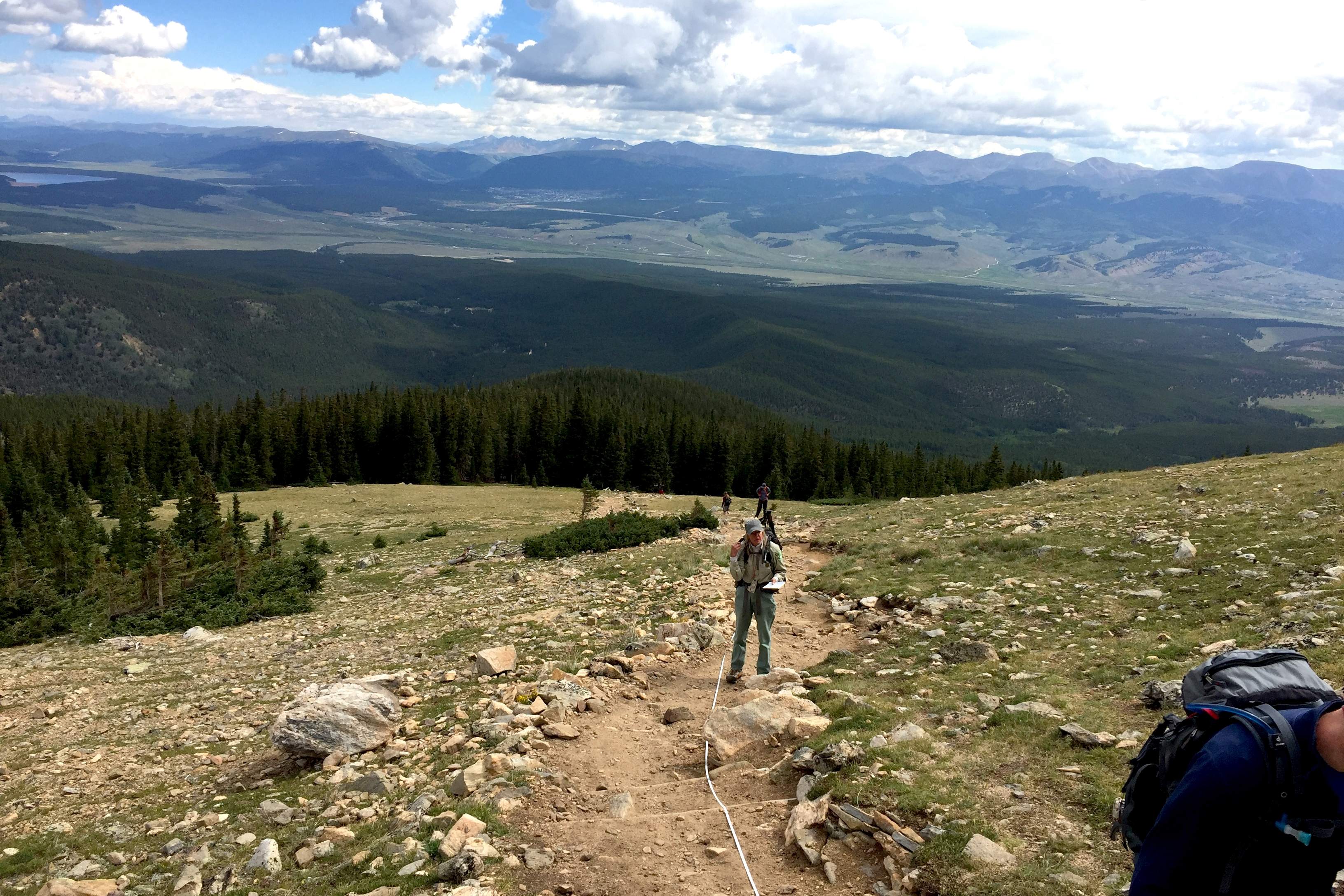
The fourth and final phase was “design,” and it was the most tedious for McEllhiney. “Very, very, very tedious,” she said, a hint of PTSD creeping into her voice.
She described it as taking foot-by-foot construction and restoration notes.
“I’m dragging a 100-foot tape, staking every 100 feet, taking slope angles — forward slope, left and right, upslope, downslope — for every one of those sections, and then writing exactly what is going to be built in that 100-foot section. Thousands of hours of just pulling a tape, walking back and forth.”
A State Legacy, a Right of Passage, a PSA
McEllhiney spent decades repeating that four-phase process, on one peak after another, across Colorado’s Rockies. The end result was one of the most important outdoor recreational trail networks in Colorado.
Approximately 260,000 hikers climbed this state’s fourteeners just in 2023. And that’s the lowest recorded number since the Colorado Fourteeners Initiative started tracking that data in 2014. They have become a lifelong objective — for locals and visitors alike. Even in all her humility, McEllhiney acknowledged that these represent a Colorado right of passage.
And they’re sacred to her like they’re sacred to so many others. Despite some of the terrible things she saw during emergencies on Mount Massive, that’s where she got married, she told me. Just above treeline, she and her husband hiked up with a friend, their witness, and changed into their wedding clothes.
She showed me a picture — it was taken not far from the trail she’d designed many years prior.
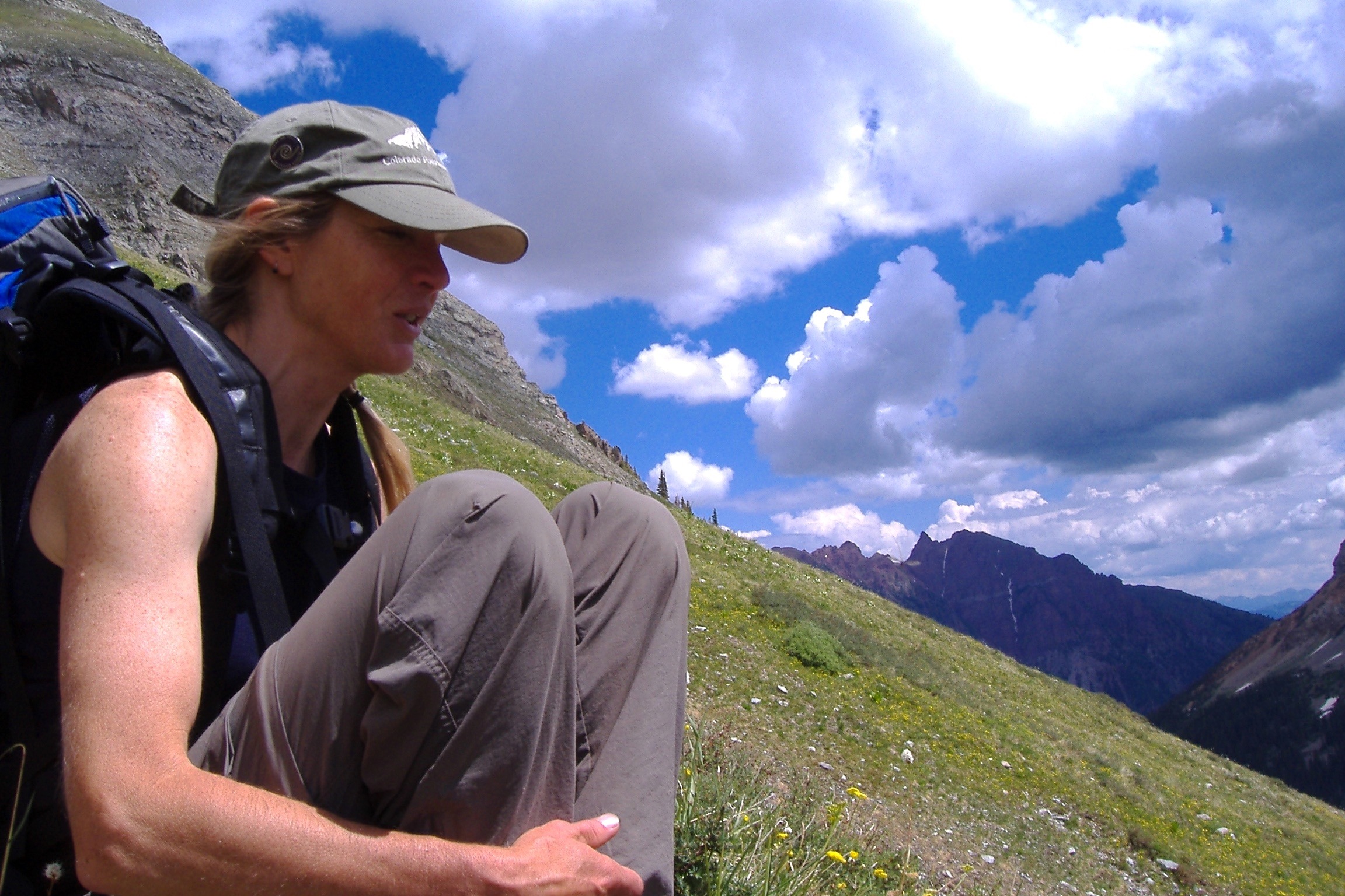
Without her, there’s no telling what kind of state the alpine environments on Colorado’s highest peaks would look like today. But it’s safe to say it would be much worse off if it hadn’t been for her.
“I don’t think that we ever did this with the mindset to bring more people. We did it to make it better for the resource, to try and confine people to narrower corridors, and leave everything else so that nature could dominate,” she said.
McEllhiney is a conservationist through and through. She has a deep passion for these mountains. It was her career’s work to protect them. Now it’s up to the rest of us to do our part — and it’s pretty easy to do.
“The more that people can stay on the trails, the better,” she said. “The alpine is a very limited resource in Colorado, and we need to protect it.”
