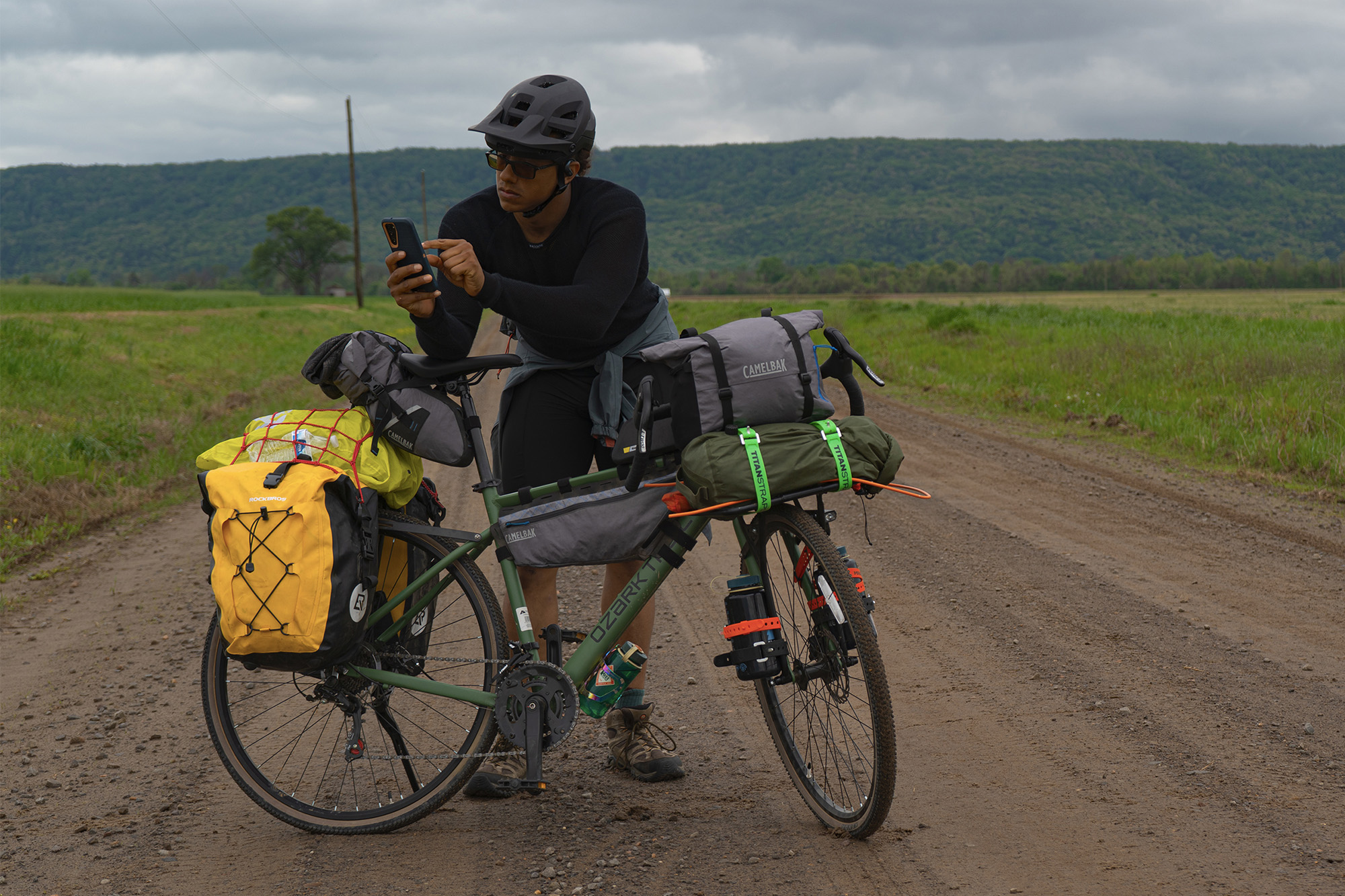
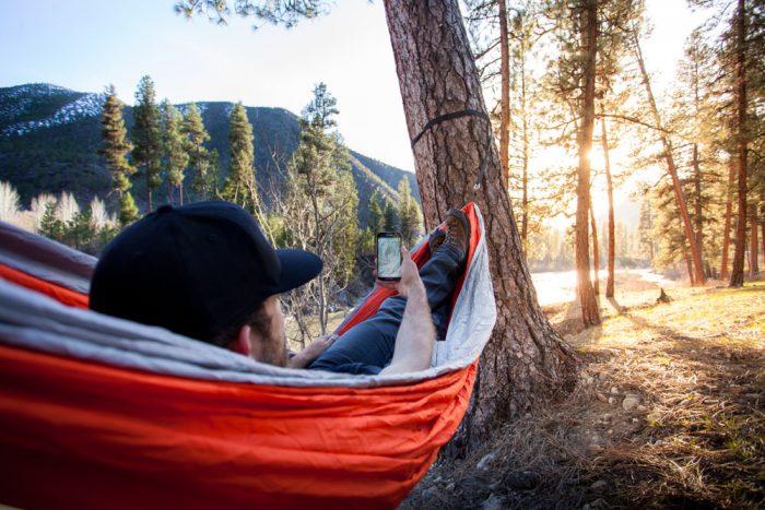
Hikers and backpackers are ditching GPS devices in favor of their phones. An app launching this week from OnXmaps adds new functionality and works off-grid almost anywhere on Earth.

With high-resolution screens and integrated GPS, your smartphone rivals most any traditional GPS device. A key is finding the right app to drive it.
New this week, the ROAM app offers base maps for hiking and other activities, and it works with your phone’s internal GPS to give realtime position, tracking, and waypoint access, all without cell service required.
Phone As GPS
Doubting an iPhone or Android can rival functionality of a dedicated GPS device? One advocate, Alan Dixon, a guide and co-founder of Backpacking Light, in a recent article writes “the iPhone is the best backpacking GPS. It just works! We’ve taken our iPhones pack-rafting in Alaska, winter rafting down the Grand Canyon, technical Canyoneering in Utah, and climbing in the Wind Rivers and the Sierras.” (See the full article here.)
Maps For Outdoor Adventure
There are a few options for apps. This article covers the ROAM app, which has hiking and biking trails, ski routes, snowmobile trails, campgrounds, fishing and water access, and even digitized National Park and Forest Service visitor maps.
ROAM provides what you’d expect in a mapping software: roads, trails, and general points of interest viewed over a bevy of base maps, from satellite imagery to topographic.

But because it accesses so much data, you get a few perks that you’d be hard-pressed to find elsewhere, at least in one source.
It costs $10 for a yearlong service, far cheaper than other high-power navigation devices.
Public Lands/Open Space
The app could come in handy in places like my home state of Idaho, which is a virtual checkerboard of land rights with trails crisscrossing in and out of the juxtaposed private, BLM, and Wilderness lands.
Navigating where one can and cannot ride typically requires some research. I usually find myself triangulating Google Earth with an OHV map and my Gazetteer.
With ROAM, you can turn on ‘layers’ of different data sets over a single map for a comprehensive picture of where the bike can and can’t be taken. ROAM can also overlay weather, wind, and wildfire maps.

Download Maps For Offline Use
Using a cell phone to navigate is nothing new, but it typically requires you to have a sufficient signal. ROAM allows users to download and save maps, then in the field switch to airplane mode and navigate using the downloaded maps with the phone’s existing GPS.
Running the app on airplane mode allows you to save the battery and run your device longer, although we still recommend using a traditional map and compass for backup in risky situations.
Bringing a phone on any trip has some inherent risks, and using it as your primary navigation might expose it to even more risks. Do yourself a favor and purchase a protective case for your device, like LifeProof’s waterproof case, and look into phone battery packs/cases to extend its battery life.
The ROAM app, available for iOS and Android phones via app stores, is launching today, June 22, and it costs $10 for a year’s service.
–This post was sponsored by onXmaps. Check out its ROAM app through your preferred app store today.