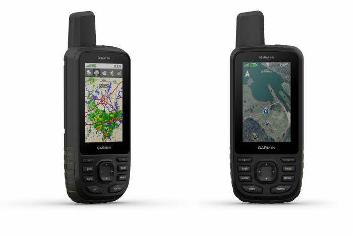
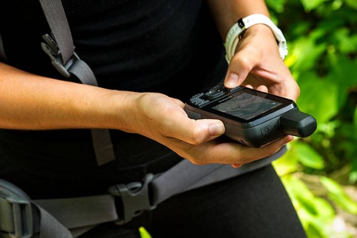
Garmin today announced two new handheld GPS units — the GPSMAP 66s and the GPSMAP 66st — that the brand claims improve imagery, wireless connectivity, and more.
The Garmin GPSMAP 66s ($400) and GPSMAP 66st ($450) handhelds bring expanded wireless connectivity, weather forecasting, a larger 3-inch sunlight-readable color display, and direct-to-device access to satellite imagery.
The 66s and 66st models are nearly identical. The big difference? Unlike the 66s, the 66st offers preloaded topographic maps. So if you want to use topo data, plan to kick in an extra $50.
Direct-To-Device Downloads
With direct-to-device downloads, you can use the new handhelds to access BirdsEye Satellite Imagery — high-resolution, photorealistic views of routes — without a subscription.
Find parks, trailheads, clearings for campsites, stand locations for hunting, and more. Plus, the preloaded maps on the GPSMAP 66s and 66st enable users to see where they’re headed in more detail. This includes features like coastlines, rivers, summits, terrain contours, and geographical points.
Weather Forecasting
An interesting feature of the new Garmin handhelds is weather forecasting. Users can pair smartphones with these devices to get up-to-date weather forecasts. They even provide “predictive maps” for temperature, wind speed and direction, and live weather radar. However, these features only work with a smartphone via on-grid cell connections.
InReach Mini Compatibility
The devices all pair with the inReach Mini, allowing the user to send and receive messages directly on their 66s/st device via the Mini. Between the multi-GNSS satellite support and ABC (altimeter, barometer, and compass) sensor capabilities, the GPSMAP 66s/st will track the entire journey.
Battery Life, Durability
Both devices work on AA batteries, so it’s easy to bring spares. The brand claims 16 hours battery life in full GPS mode. It can track the user’s position for up to one week using Expedition mode on a single set of AA batteries. An LED flashlight is included.
In addition to the large 3-inch sunlight-readable color display, Garmin built the devices to adhere to military standards for thermal, shock, and water performance (MIL-STD-810G). To professionals and serious GPS enthusiasts: Note it includes RINEX data logging for sub-meter accuracy of GPS position after post-processing.
We haven’t seen these in person yet, but they look like solid updates to a popular line of GPS devices. If you’re in the market, learn more at Garmin’s website.

