Maps – Anti-Gravity Gear Maps & AWOL 2015 Northbound AT Guide
In a modern world dominated by GPS and digital screens, there’s still nothing like an old-school map.
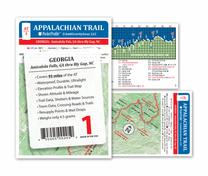
“I referred to it constantly,” Jurek said. “They are made of waterproof materials, and they’re for sections of 50 – 100 miles of trail. On one side you have a map that gives you road crossings and big-picture items, on the other side you’ve got elevation profiles with water access, shelters and other key elements.”
Jurek said the maps were easy to read and refer to while moving fast down the trail.
“It was a quick reference and gave me that boost of motivation sometimes,” he said. “It helps breaking the day into small segments.”

